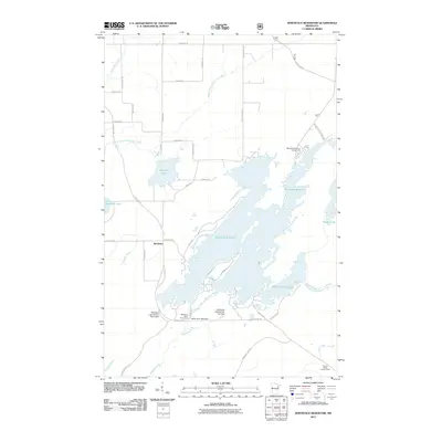
2011 Map of Whiteface Reservoir
USGS Topo · Published 2011About this map
Markham sits as the central settlement in this portion of Saint Louis County, positioned along the historic Vermilion Trl. The landscape is dominated by the sprawling waters of the Whiteface Reservoir, an artificial impoundment controlled by the White Face Lake Dam, Whiteface Lake Section Two Dam, and Whiteface Lake Section Three Dam. These structures manage the flow of the Whiteface River and its various tributaries, such as the South Branch Whiteface River, reflecting the extensive hydraulic engineering required to shape this northern Minnesota terrain for utility and recreation.
Find a feature on this map
45 named features on this map. Tap any name to fly to it.
Don’t see what you’re looking for? This feature index may not catch every label — zoom into the map to look around manually.
Map Details
Editions of this 2011 Whiteface Reservoir Map
This is the sole edition of this map. No revisions or reprints were ever made.
Other maps of this area
1951 · Palo
USGS Topo · 1:24,000
1951 · Makinen
USGS Topo · 1:24,000
1954 · Hibbing
USGS Topo · 1:250,000
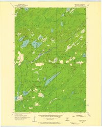
1956 · Whiteface
USGS Topo · 1:24,000
1957 · Hibbing
USGS Topo · 1:250,000
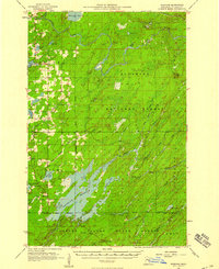
1957 · Markham
USGS Topo · 1:62,500
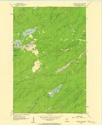
1957 · Comstock Lake
USGS Topo · 1:24,000
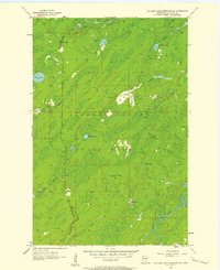
1957 · Boulder Lake Reservoir NE
USGS Topo · 1:24,000
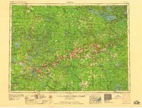
1958 · Hibbing
USGS Topo · 1:250,000
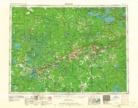
1964 · Hibbing
USGS Topo · 1:250,000