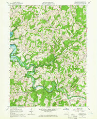
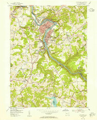
1964 Map of Whitesburg
USGS Topo · Published 1966About this map
Crooked Creek snakes through the heart of Armstrong County in this mid-1960s survey, defining a landscape of narrow valleys and rural industrial operations. The winding waterway leads into the Crooked Creek Reservoir, bordered by the expansive Crooked Creek State Park and Paradise Beach. The map reveals a high concentration of resource extraction, with numerous gas wells and Strip Mine sites scattered across the hillsides of Burrell and South Bend townships.
Find a feature on this map
48 named features on this map. Tap any name to fly to it.
Don’t see what you’re looking for? This feature index may not catch every label — zoom into the map to look around manually.
Map Details
Editions of this 1964 Whitesburg Map
4 editions found
Other maps of this area

1900 · Kittanning
USGS Topo · 1:62,500

1901 · Rural Valley
USGS Topo · 1:62,500

1902 · Kittanning
USGS Topo · 1:62,500

1902 · Elders Ridge
USGS Topo · 1:62,500

1903 · Rural Valley
USGS Topo · 1:62,500

1904 · Elders Ridge
USGS Topo · 1:62,500

1907 · Freeport
USGS Topo · 1:62,500

1909 · Freeport
USGS Topo · 1:62,500

1953 · Pittsburgh
USGS Topo · 1:250,000
1953 · Vandergrift
USGS Topo · 1:24,000