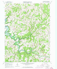
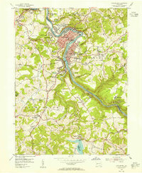
1964 Map of Whitesburg
USGS Topo · Published 1973About this map
Cochrans Mills and the winding valley of Crooked Creek define this rural landscape in Armstrong County during the mid-1960s. The area is characterized by a high density of extraction activities, with numerous Strip Mine sites and a Quarry dotting the hillsides, illustrating the region's industrial reliance on surface mining. This extraction economy exists alongside established agrarian communities and religious centers, such as Brick Church and St Michaels Ch.
Find a feature on this map
47 named features on this map. Tap any name to fly to it.
Don’t see what you’re looking for? This feature index may not catch every label — zoom into the map to look around manually.
Map Details
Editions of this 1964 Whitesburg Map
4 editions found
Other maps of this area

1900 · Kittanning
USGS Topo · 1:62,500

1901 · Rural Valley
USGS Topo · 1:62,500

1902 · Kittanning
USGS Topo · 1:62,500

1902 · Elders Ridge
USGS Topo · 1:62,500

1903 · Rural Valley
USGS Topo · 1:62,500

1904 · Elders Ridge
USGS Topo · 1:62,500

1907 · Freeport
USGS Topo · 1:62,500

1909 · Freeport
USGS Topo · 1:62,500

1953 · Pittsburgh
USGS Topo · 1:250,000
1953 · Vandergrift
USGS Topo · 1:24,000