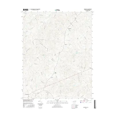
2016 Map of Whiteville
USGS Topo · Published 2016About this map
Whiteville and the surrounding Virginia countryside appear in this 2016 survey, showcasing a landscape defined by small settlements and family-named cemeteries. The drainage patterns of the Willis River and its tributaries, including Bigger Cr and Muddy Cr, structure the topography, while the presence of Flippen Millpond suggests a legacy of local water-driven industry. To the south, the village of Cumberland sits near the map's border, connected to the hinterlands by a network of rural routes such as Clinton Rd and Brown Rd.
Find a feature on this map
77 named features on this map. Tap any name to fly to it.
Don’t see what you’re looking for? This feature index may not catch every label — zoom into the map to look around manually.
Map Details
Editions of this 2016 Whiteville Map
This is the sole edition of this map. No revisions or reprints were ever made.
Other maps of this area

1891 · Palmyra
USGS Topo · 1:125,000

1891 · Farmville
USGS Topo · 1:125,000

1893 · Farmville
USGS Topo · 1:125,000

1895 · Palmyra
USGS Topo · 1:125,000

1897 · Palmyra
USGS Topo · 1:125,000

1947 · Roanoke
USGS Topo · 1:250,000

1950 · Dillwyn
USGS Topo · 1:62,500

1958 · Farmville
USGS Topo · 1:62,500

1958 · Jetersville
USGS Topo · 1:62,500

1958 · Dillwyn
USGS Topo · 1:62,500