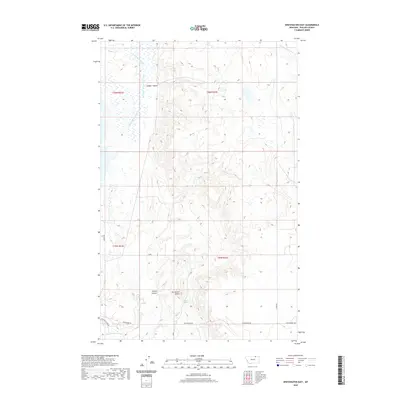
2020 Map of Whitewater East
USGS Topo · Published 2020About this map
Tea Kettle Butte rises as a prominent landmark in this section of Phillips County, overlooking a landscape defined by seasonal drainages and prairie springs. The hydrography is anchored by the E Fork Whitewater Cr, which winds through the northern reaches, while Lone Tree Spring provides a crucial water source in the drier southern terrain. The map reveals a systematic layout of rural transit and land management, with routes like Whitewater Rd and Border Rd following the township and range lines typical of the American West. Drainages such as Dunbar Coulee and Provost Coulee carve through the elevation, illustrating the natural erosion patterns that have shaped this portion of the northern plains.
Find a feature on this map
14 named features on this map. Tap any name to fly to it.
Don’t see what you’re looking for? This feature index may not catch every label — zoom into the map to look around manually.
Map Details
Editions of this 2020 Whitewater East Map
This is the sole edition of this map. No revisions or reprints were ever made.
Other maps of this area

1920 · Cowan
USGS Topo · 1:125,000

1954 · Glasgow
USGS Topo · 1:250,000

1957 · Glasgow
USGS Topo · 1:250,000

1958 · Glasgow
USGS Topo · 1:250,000

1968 · Tattnall
USGS Topo · 1:24,000

1968 · Austin Lake
USGS Topo · 1:24,000

1984 · Pea Lake
USGS Topo · 1:24,000

1984 · Whitewater East
USGS Topo · 1:24,000

1984 · Forks
USGS Topo · 1:24,000

1984 · Whitewater West
USGS Topo · 1:24,000