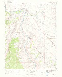
1969 Map of Whitewater
USGS Topo · Published 1972About this map
The Gunnison River carves through the Colorado landscape here, following a course shadowed by the Denver and Rio Grande Western railroad. This late-1960s survey documents the small settlement of Whitewater, a focal point for local transportation and industry. The area is characterized by an extensive network of water management, visible through the Shropshire Ditch and the Whitewater Extension Ditch, alongside the Kannah Creek Aqueduct that moves water across the high mesas.
Find a feature on this map
34 named features on this map. Tap any name to fly to it.
Don’t see what you’re looking for? This feature index may not catch every label — zoom into the map to look around manually.
Map Details
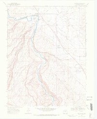
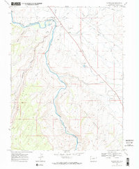
Editions of this 1969 Whitewater Map
3 editions found
Other maps of this area

1956 · Moab
USGS Topo · 1:250,000

1956 · Grand Junction
USGS Topo · 1:250,000

1959 · Grand Junction
USGS Topo · 1:250,000

1959 · Moab
USGS Topo · 1:250,000

1960 · Moab
USGS Topo · 1:250,000

1960 · Grand Junction
USGS Topo · 1:250,000

1962 · Moab
USGS Topo · 1:250,000

1962 · Grand Junction
USGS Topo · 1:250,000

1962 · Clifton
USGS Topo · 1:24,000

1962 · Grand Junction
USGS Topo · 1:24,000