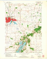
1960 Map of Whitewater
USGS Topo · Published 1964About this map
Whitewater serves as the focal point of this 1960s landscape, where the campus of Wisconsin State College is integrated into the city grid alongside Central Sch and West Side Sch. The area is defined by a significant glacial topography, with the Kettle Moraine influencing the drainage and formation of water bodies like Rice Lake, Whitewater Lake, and Lake La Grange. These lakes, along with Cravath Lake and Tripp Lake adjacent to the city center, illustrate the hydrological character of the Jefferson and Walworth County border lands.
Find a feature on this map
39 named features on this map. Tap any name to fly to it.
Don’t see what you’re looking for? This feature index may not catch every label — zoom into the map to look around manually.
Map Details
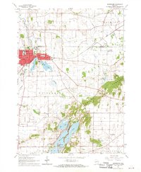
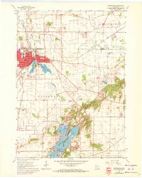
Editions of this 1960 Whitewater Map
3 editions found
Other maps of this area

1891 · Koshkonong
USGS Topo · 1:62,500

1892 · Whitewater
USGS Topo · 1:62,500

1893 · Delavan
USGS Topo · 1:62,500

1893 · Whitewater
USGS Topo · 1:62,500

1893 · Shopiere
USGS Topo · 1:62,500

1894 · Koshkonong
USGS Topo · 1:62,500

1903 · Whitewater
USGS Topo · 1:62,500

1906 · Koshkonong
USGS Topo · 1:62,500

1924 · Whitewater
USGS Topo · 1:62,500

1954 · Rockford
USGS Topo · 1:250,000