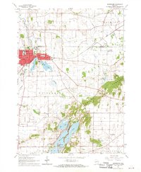
1960 Map of Whitewater
USGS Topo · Published 1970About this map
Whitewater serves as the focal point of this 1960s-era landscape, where the campus of Wisconsin State College and several local schools like Central Sch and West Side Sch reflect the community's mid-century development. The city is defined by its relationship to water, with Cravath Lake and Tripp Lake adjacent to the town center, and the Chicago Milwaukee St Paul and Pacific railroad providing critical transit connections. This geography transitions from the municipal grid into the distinctive glacial topography of the Kettle Moraine State Forest to the southeast.
Find a feature on this map
43 named features on this map. Tap any name to fly to it.
Don’t see what you’re looking for? This feature index may not catch every label — zoom into the map to look around manually.
Map Details
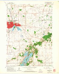
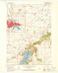
Editions of this 1960 Whitewater Map
3 editions found
Other maps of this area

1891 · Koshkonong
USGS Topo · 1:62,500

1892 · Whitewater
USGS Topo · 1:62,500

1893 · Delavan
USGS Topo · 1:62,500

1893 · Whitewater
USGS Topo · 1:62,500

1893 · Shopiere
USGS Topo · 1:62,500

1894 · Koshkonong
USGS Topo · 1:62,500

1903 · Whitewater
USGS Topo · 1:62,500

1906 · Koshkonong
USGS Topo · 1:62,500

1924 · Whitewater
USGS Topo · 1:62,500

1954 · Rockford
USGS Topo · 1:250,000