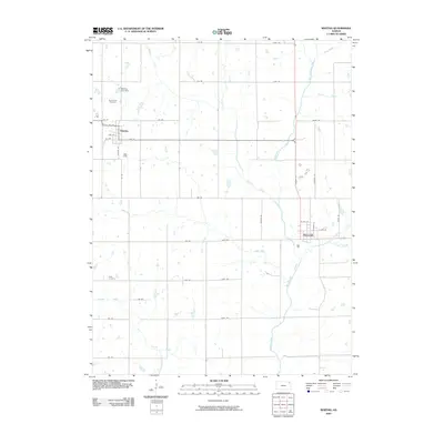
2009 Map of Whiting
USGS Topo · Published 2009About this map
Whiting and Muscotah serve as the primary hubs in this section of northeast Kansas, where a dense network of sectional roads and watercourses defines the agricultural landscape. The township of Whiting is characterized by its organized street grid, featuring Whiting St and K9 Hwy, while the Whiting City Dam sits just to the north. For those tracing family lineages, Spring Hill Cemetery and Estes Cemetery are key locations for local records. The hydrology of the area is particularly complex, dominated by the Delaware River and its numerous tributaries, including the Little Delaware River, Grasshopper Creek, and Walnut Creek. This drainage system illustrates the typical prairie topography of Jackson County, with varied creeks like Straight Creek and Negro Creek cutting through the farmland.
Find a feature on this map
46 named features on this map. Tap any name to fly to it.
Don’t see what you’re looking for? This feature index may not catch every label — zoom into the map to look around manually.
Map Details
Editions of this 2009 Whiting Map
This is the sole edition of this map. No revisions or reprints were ever made.
Other maps of this area

1885 · Atchison
USGS Topo · 1:125,000

1886 · Oskaloosa
USGS Topo · 1:125,000

1888 · Oskaloosa
USGS Topo · 1:125,000

1888 · Atchison
USGS Topo · 1:125,000

1888 · Hiawatha
USGS Topo · 1:125,000

1889 · Topeka
USGS Topo · 1:125,000

1893 · Atchison
USGS Topo · 1:125,000

1894 · Oskaloosa
USGS Topo · 1:125,000

1894 · Topeka
USGS Topo · 1:125,000

1894 · Hiawatha
USGS Topo · 1:125,000