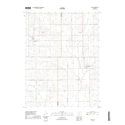
2018 Map of Whiting
USGS Topo · Published 2018About this map
Whiting and Muscotah anchor this Northeastern Kansas landscape, situated along the county line where Jackson and Atchison counties meet. The terrain is defined by a dense network of tributaries including the Delaware River, the Little Delaware River, and Little Grasshopper Cr, which cut through the agricultural sections and township divisions. Local history and genealogy interests are well-represented by several established burial grounds, notably Spring Hill Cem just north of Whiting, Estes Cem to the south, and Muscotah Cem on the eastern edge of its namesake town. The presence of Lake of the Oaks and various seasonal creeks like Straight Cr and Negro Cr illustrate the drainage patterns that have shaped the rural development and road placements in this part of the state.
Find a feature on this map
36 named features on this map. Tap any name to fly to it.
Don’t see what you’re looking for? This feature index may not catch every label — zoom into the map to look around manually.
Map Details
Editions of this 2018 Whiting Map
This is the sole edition of this map. No revisions or reprints were ever made.
Other maps of this area

1885 · Atchison
USGS Topo · 1:125,000

1886 · Oskaloosa
USGS Topo · 1:125,000

1888 · Oskaloosa
USGS Topo · 1:125,000

1888 · Atchison
USGS Topo · 1:125,000

1888 · Hiawatha
USGS Topo · 1:125,000

1889 · Topeka
USGS Topo · 1:125,000

1893 · Atchison
USGS Topo · 1:125,000

1894 · Oskaloosa
USGS Topo · 1:125,000

1894 · Topeka
USGS Topo · 1:125,000

1894 · Hiawatha
USGS Topo · 1:125,000