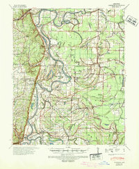
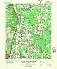
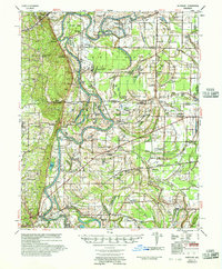
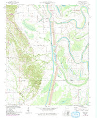
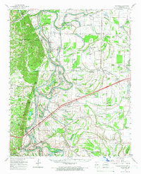
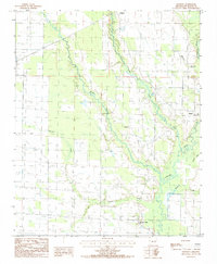
1940 Map of Whitmore
USGS Topo · Published 1942This historical map portrays the area of Whitmore in 1940, primarily covering St. Francis County as well as portions of Crittenden County and Cross County. Featuring a scale of 1:62500, this map provides a highly detailed snapshot of the terrain, roads, buildings, counties, and historical landmarks in the Whitmore region at the time. Published in 1942, it is one of 2 known editions of this map due to revisions or reprints.
Find a feature on this map
112 named features on this map. Tap any name to fly to it.
Don’t see what you’re looking for? This feature index may not catch every label — zoom into the map to look around manually.
Map Details
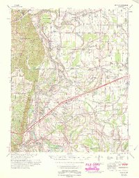
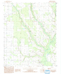
Editions of this 1940 Whitmore Map
2 editions found
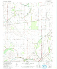
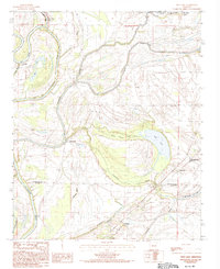
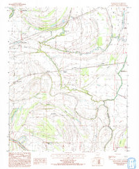
Historical Maps of Duvall Through Time
12 maps found
1940 Whitmore
St. Francis County, AR
1956 Whitmore
St. Francis County, AR
1959 Dansby
St. Francis County, AR
1960 Whitmore
St. Francis County, AR
1965 Whitmore
St. Francis County, AR
1975 Edmondson SW
St. Francis County, AR

1975 Horseshoe Lake NW
St. Francis County, AR
1981 Chatfield
St. Francis County, AR
1984 Hawkins
St. Francis County, AR
1984 Mud Lake
St. Francis County, AR
1984 Round Pond
St. Francis County, AR
1992 Hawkins
St. Francis County, AR