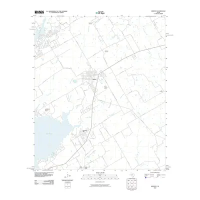
2010 Map of Whitney
USGS Topo · Published 2010About this map
Whitney stands as the central hub of this Hill County landscape, where the street grid of the town meets a network of rural farm roads and county routes. The western edge of the area is dominated by the expansive Lake Whitney, a major reservoir that has reshaped the local geography. Along its shores, Lake Whitney State Park and the adjacent Lake Whitney State Park Airport indicate the area's development as a center for recreation and regional travel.
Find a feature on this map
66 named features on this map. Tap any name to fly to it.
Don’t see what you’re looking for? This feature index may not catch every label — zoom into the map to look around manually.
Map Details
Editions of this 2010 Whitney Map
This is the sole edition of this map. No revisions or reprints were ever made.
Other maps of this area

1891 · Cleburne
USGS Topo · 1:125,000

1892 · Waco
USGS Topo · 1:125,000

1894 · Cleburne
USGS Topo · 1:125,000

1920 · Waco
USGS Topo · 1:125,000

1924 · Waco 2-b
USGS Topo · 1:48,000

1924 · Cleburne 3-C
USGS Topo · 1:48,000

1927 · Blum
USGS Topo · 1:62,500

1931 · Whitney
USGS Topo · 1:62,500

1954 · Dallas
USGS Topo · 1:250,000

1954 · Waco
USGS Topo · 1:250,000