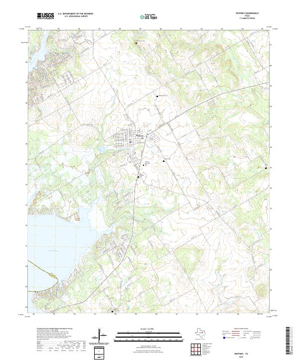
2022 Map of Whitney
USGS Topo · Published 2022About this map
Whitney serves as the focal point of this Hill County landscape, situated at the junction of several regional farm-to-market roads. The town's grid extends toward Whitney Memorial Park, while the surrounding countryside is marked by a high density of small family and community burial grounds, including the Old Whitney Cem and the Bethlehem Cem. To the west and south, the geography is defined by the expansive Lake Whitney, which is fed by numerous tributaries such as Frazier Creek and Whitney Creek. These watercourses carve into the terrain, creating a network of coves and inlets that have influenced modern residential development, particularly evident in the winding streets of the Juniper Cove area. The presence of Towash Creek and its associated Towash Cem points to the early settlement patterns that preceded the formation of the reservoir, preserving the names of localities that have shaped this portion of Central Texas.
Find a feature on this map
128 named features on this map. Tap any name to fly to it.
Don’t see what you’re looking for? This feature index may not catch every label — zoom into the map to look around manually.
Map Details
Editions of this 2022 Whitney Map
This is the sole edition of this map. No revisions or reprints were ever made.
Other maps of this area

1891 · Cleburne
USGS Topo · 1:125,000

1892 · Waco
USGS Topo · 1:125,000

1894 · Cleburne
USGS Topo · 1:125,000

1920 · Waco
USGS Topo · 1:125,000

1924 · Waco 2-b
USGS Topo · 1:48,000

1924 · Cleburne 3-C
USGS Topo · 1:48,000

1927 · Blum
USGS Topo · 1:62,500

1931 · Whitney
USGS Topo · 1:62,500

1954 · Dallas
USGS Topo · 1:250,000

1954 · Waco
USGS Topo · 1:250,000