Loading...
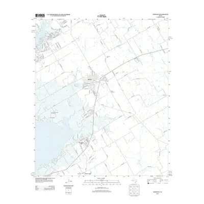
Loading map...1966 Map of Whitney
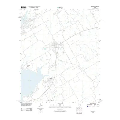
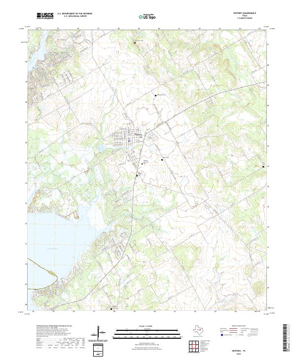
USGS Topo · Published 1991About this map
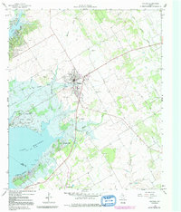
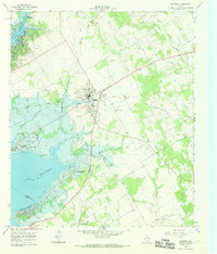
The town of Whitney serves as the focal point of this Hill County landscape, appearing at a time of transition marked by the infrastructure of Whitney Lake. The western edge of the map is dominated by the reservoir and Lake Whitney State Park, while the interior reveals the older footprints of the region. Notable local landmarks include the Rodeo Ground south of the town center and a Radio Tower to the west.
Find a feature on this map
24 named features on this map. Tap any name to fly to it.
Don’t see what you’re looking for? This feature index may not catch every label — zoom into the map to look around manually.
Map Details
Date Portrayed1966
Date Published1991
PublisherU.S. Geological Survey
Map TypeTopographic
Scale1:24,000
Physical Dimensions23 x 26.9 inches
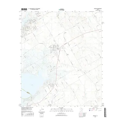
Editions of this 1966 Whitney Map
2 editions found
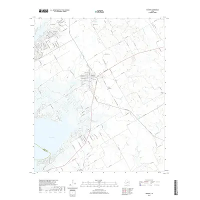
Historical Maps of Whitney Through Time
7 maps found
Featured Locations
Source Details
SourceU.S. Geological Survey
CopyrightPublic Domain