
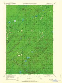
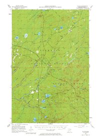
1953 Map of Whyte
USGS Topo · Published 1955About this map
Industrial and logging infrastructure defines this pocket of the Superior National Forest in the early 1950s. The landscape is a network of iron-country transit, where the Duluth Missabe and Iron Range Railroad and the Reserve Mining Company Railroad intersect at key points like Norshor Junction and Darby Junction. These junctions and small settlements like Whyte and McNair served as the primary nodes for moving timber and ore through the dense lake country.
Find a feature on this map
54 named features on this map. Tap any name to fly to it.
Don’t see what you’re looking for? This feature index may not catch every label — zoom into the map to look around manually.
Map Details
Editions of this 1953 Whyte Map
3 editions found
Other maps of this area

1952 · Babbitt SE
USGS Topo · 1:24,000

1954 · Greenwood Lake
USGS Topo · 1:62,500

1954 · Silver Bay
USGS Topo · 1:62,500

1954 · Two Harbors
USGS Topo · 1:250,000

1955 · Isabella
USGS Topo · 1:62,500

1956 · Split Rock Point
USGS Topo · 1:24,000

1956 · King Lake
USGS Topo · 1:24,000

1956 · Split Rock Point
USGS Topo · 1:62,500

1957 · Two Harbors
USGS Topo · 1:250,000

1957 · Two Harbors
USGS Topo · 1:62,500