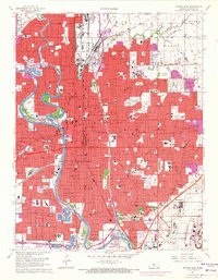
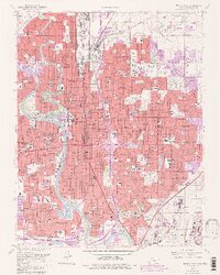
1961 Map of Wichita East
USGS Topo · Published 1971About this map
The Arkansas River and its tributary, the Little Arkansas River, define the heart of this urban landscape as it expanded during the mid-twentieth century. Industrial and aviation history is prominent on the city's southeast side, anchored by McConnell Air Force Base and the Cessna Landing Field. The map records a dense concentration of civic and religious institutions, including Wichita State University, Friends University, and numerous parish schools such as St Marys Academy.
Find a feature on this map
135 named features on this map. Tap any name to fly to it.
Don’t see what you’re looking for? This feature index may not catch every label — zoom into the map to look around manually.
Map Details
Editions of this 1961 Wichita East Map
5 editions found
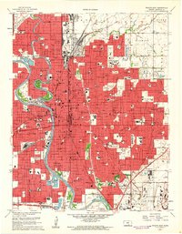
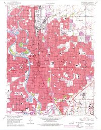
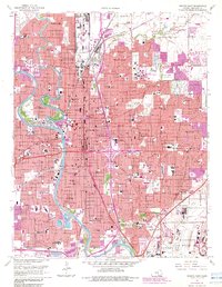
Other maps of this area

1889 · Wichita
USGS Topo · 1:125,000

1894 · Wichita
USGS Topo · 1:125,000

1941 · Maize
USGS Topo · 1:31,680

1941 · Valley Center
USGS Topo · 1:31,680

1942 · Valley Center
USGS Topo · 1:31,680

1942 · Maize
USGS Topo · 1:31,680

1943 · Wichita West
USGS Topo · 1:31,680

1943 · Wichita East
USGS Topo · 1:31,680

1943 · Derby
USGS Topo · 1:31,680

1943 · Bayneville
USGS Topo · 1:31,680