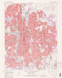
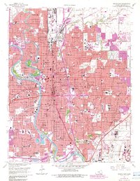
1961 Map of Wichita East
USGS Topo · Published 1983About this map
Wichita expands across the confluence of the Little Arkansas River and the Arkansas River in this early 1960s survey, with extensive updates reflecting the city’s mid-century growth. The landscape is a mix of educational anchors like Wichita State University and Friends University, alongside the industrial and aviation hubs of McConnell Air Force Base and the Cessna Aircraft Airport. Historical preservation is visible at Cow Town near the river bend, while the city's infrastructure is defined by the Kansas Turnpike Toll Road and major rail lines like the Atchison Topeka and Santa Fe. Numerous parochial schools and cemeteries, including White Chapel Cemetery and Old Mission Cem, provide valuable landmarks for genealogists tracing family roots in the suburban neighborhoods of Eastborough and Plainview.
Find a feature on this map
151 named features on this map. Tap any name to fly to it.
Don’t see what you’re looking for? This feature index may not catch every label — zoom into the map to look around manually.
Map Details
Editions of this 1961 Wichita East Map
5 editions found
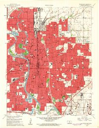
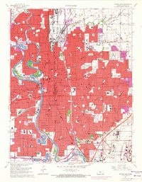
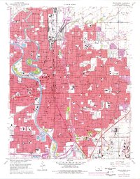
Other maps of this area

1889 · Wichita
USGS Topo · 1:125,000

1894 · Wichita
USGS Topo · 1:125,000

1941 · Maize
USGS Topo · 1:31,680

1941 · Valley Center
USGS Topo · 1:31,680

1942 · Valley Center
USGS Topo · 1:31,680

1942 · Maize
USGS Topo · 1:31,680

1943 · Wichita West
USGS Topo · 1:31,680

1943 · Wichita East
USGS Topo · 1:31,680

1943 · Derby
USGS Topo · 1:31,680

1943 · Bayneville
USGS Topo · 1:31,680