
1954 Map of Wichita Falls
USGS Topo · Published 1966About this map
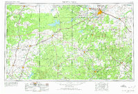
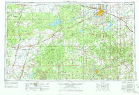
Wichita Falls anchors this mid-century look at North Texas, where the burgeoning urban center at Sheppard AFB meets a landscape defined by extensive petroleum production and massive water projects. The map captures the complex drainage systems of the Red River and Brazos River basins, marked by the significant footprints of Lake Kemp and Lake Stamford. The regional economy is clearly legible through the density of labels for Oil Fields and pumping stations that sit alongside agricultural hubs like Seymour and Munday.
Find a feature on this map
161 named features on this map. Tap any name to fly to it.
Don’t see what you’re looking for? This feature index may not catch every label — zoom into the map to look around manually.
Map Details
Editions of this 1954 Wichita Falls Map
3 editions found
Other maps of this area

1890 · Breckenridge
USGS Topo · 1:125,000

1891 · Weatherford
USGS Topo · 1:125,000

1891 · Palo Pinto
USGS Topo · 1:125,000

1891 · Anson
USGS Topo · 1:125,000

1892 · Albany
USGS Topo · 1:125,000

1893 · Albany
USGS Topo · 1:125,000

1893 · Roby
USGS Topo · 1:125,000

1893 · Anson
USGS Topo · 1:125,000

1893 · Weatherford
USGS Topo · 1:125,000

1901 · Addington
USGS Topo · 1:125,000