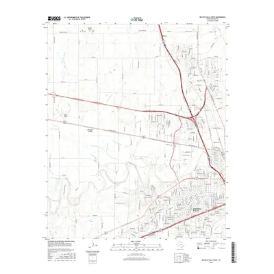
2016 Map of Wichita Falls West
USGS Topo · Published 2016About this map
Wichita Falls and its western outskirts are mapped here in the mid-2010s, showing a landscape defined by both suburban expansion and an extensive network of irrigation laterals. The Wichita River and Holliday Cr course through the southern and eastern sectors, where the city grid is anchored by institutions like Midwestern State Univ. Moving northwest, the urban density gives way to the communities of Pleasant Valley and Bacon, where large-scale cemeteries such as Highland Memorial Gardens, Riverside Cem, and Sacred Heart Cem are located.
Find a feature on this map
260 named features on this map. Tap any name to fly to it.
Don’t see what you’re looking for? This feature index may not catch every label — zoom into the map to look around manually.
Map Details
Editions of this 2016 Wichita Falls West Map
This is the sole edition of this map. No revisions or reprints were ever made.
Other maps of this area

1915 · Clara
USGS Topo · 1:24,000

1915 · Burkburnett
USGS Topo · 1:24,000

1916 · Iowa Park
USGS Topo · 1:24,000

1918 · Buckburnett
USGS Topo · 1:31,680

1918 · Clara
USGS Topo · 1:31,680

1918 · Iowa Park
USGS Topo · 1:31,680

1954 · Wichita Falls
USGS Topo · 1:250,000

1955 · Lawton
USGS Topo · 1:250,000

1956 · Sloop Creek
USGS Topo · 1:24,000

1956 · Lake Wichita
USGS Topo · 1:24,000