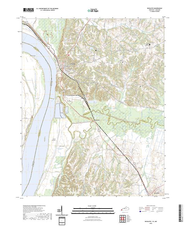
2022 Map of Wickliffe
USGS Topo · Published 2022About this map
Wickliffe sits at the confluence of history and geography where the Mississippi River meets the diverse wetlands of western Kentucky. The town's civic heart is anchored by the Ballard County Courthouse, while the surrounding landscape is defined by the expansive bottomlands of the river and the meandering course of Mayfield Creek. This survey captures the intricate water systems of the region, including Minor Slough and the isolated waters of Lost Pond and Twin Lake. These features reflect a river-driven economy and a landscape shaped by seasonal flooding and shifting sediment.
Find a feature on this map
81 named features on this map. Tap any name to fly to it.
Don’t see what you’re looking for? This feature index may not catch every label — zoom into the map to look around manually.
Map Details
Editions of this 2022 Wickliffe Map
This is the sole edition of this map. No revisions or reprints were ever made.
Other maps of this area

1928 · La Center
USGS Topo · 1:62,500

1931 · Cairo
USGS Topo · 1:62,500

1932 · La Center
USGS Topo · 1:62,500

1933 · Cairo
USGS Topo · 1:62,500

1939 · Wickliffe
USGS Topo · 1:62,500

1939 · Cairo
USGS Topo · 1:62,500

1949 · Paducah
USGS Topo · 1:250,000

1950 · Paducah
USGS Topo · 1:250,000

1951 · Blandville
USGS Topo · 1:24,000

1951 · Wickliffe SW
USGS Topo · 1:24,000