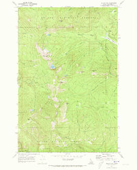
1969 Map of Widow Mountain
USGS Topo · Published 1973About this map
Widow Mtn stands at the center of this remote high-country landscape within the St Joe National Forest, where the headwaters of the North Fork Clearwater River meet the drainage of the Middle Fork St Joe River. In the late 1960s, this area remained largely inaccessible by road, defined instead by an extensive network of Pack Trails and Jeep Trails connecting mountain peaks and fire lookouts. Evidence of early wilderness management is visible at the Lookout Tower atop Lookout Mtn, and the historical location of Camp 44 (Site) near the northern boundary. The terrain is dotted with high-elevation water bodies like Lost Lake and Fish Lake, alongside marshes such as Pinchot Marsh, illustrating the complex hydrology of the Idaho-Shoshone county line before modern development altered these backcountry routes.
Find a feature on this map
35 named features on this map. Tap any name to fly to it.
Don’t see what you’re looking for? This feature index may not catch every label — zoom into the map to look around manually.
Map Details
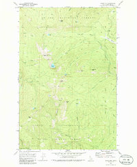
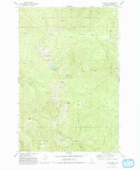
Editions of this 1969 Widow Mountain Map
3 editions found
Other maps of this area

1914 · Avery
USGS Topo · 1:125,000

1917 · Avery
USGS Topo · 1:125,000

1923 · Washington Creek
USGS Topo · 1:125,000

1936 · Boehls Butte
USGS Topo · 1:48,000

1943 · Boehls Butte
USGS Topo · 1:62,500

1955 · Pullman
USGS Topo · 1:250,000

1955 · Spokane
USGS Topo · 1:250,000

1956 · Wallace
USGS Topo · 1:250,000

1956 · Hamilton
USGS Topo · 1:250,000

1958 · Spokane
USGS Topo · 1:250,000