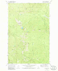
1969 Map of Widow Mtn
USGS Topo · Published 1986About this map
St Joe National Forest dominates this mountain landscape, defined by a series of prominent peaks and high-altitude lakes. Centrally positioned, Widow Mtn stands as a primary landmark, flanked by Orphan Point and Lookout Mtn, where Lookout Tower 6789 marks a high vantage point for fire surveillance. The drainage network is complex, featuring the Little North Fork Clearwater River and numerous tributaries like Floodwood Creek and Lund Creek.
Find a feature on this map
41 named features on this map. Tap any name to fly to it.
Don’t see what you’re looking for? This feature index may not catch every label — zoom into the map to look around manually.
Map Details
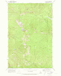
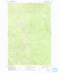
Editions of this 1969 Widow Mtn Map
3 editions found
Other maps of this area

1914 · Avery
USGS Topo · 1:125,000

1917 · Avery
USGS Topo · 1:125,000

1923 · Washington Creek
USGS Topo · 1:125,000

1936 · Boehls Butte
USGS Topo · 1:48,000

1943 · Boehls Butte
USGS Topo · 1:62,500

1955 · Pullman
USGS Topo · 1:250,000

1955 · Spokane
USGS Topo · 1:250,000

1956 · Wallace
USGS Topo · 1:250,000

1956 · Hamilton
USGS Topo · 1:250,000

1958 · Spokane
USGS Topo · 1:250,000