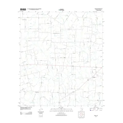
2013 Map of Wied
USGS Topo · Published 2013About this map
Wied and Worthing anchor this rural landscape in Lavaca County, where a complex network of local roads and watercourses defines the settlement pattern. The terrain is deeply etched by a system of creeks including Smothers Cr, Ponton Cr, and Rocky Cr, which flow generally southeast toward the larger Mustang Cr. These drainage patterns historically dictated the placement of homesteads and early transport routes long before the modernization of the road network.
Find a feature on this map
86 named features on this map. Tap any name to fly to it.
Don’t see what you’re looking for? This feature index may not catch every label — zoom into the map to look around manually.
Map Details
Editions of this 2013 Wied Map
This is the sole edition of this map. No revisions or reprints were ever made.
Other maps of this area

1901 · Flatonia
USGS Topo · 1:125,000

1919 · Schulenburg
USGS Topo · 1:62,500

1953 · Seguin
USGS Topo · 1:250,000

1958 · Seguin
USGS Topo · 1:250,000

1962 · Hallettsville
USGS Topo · 1:24,000

1963 · Yoakum
USGS Topo · 1:24,000

1963 · Sweet Home
USGS Topo · 1:24,000

1964 · Ezzell
USGS Topo · 1:24,000

1965 · Wied
USGS Topo · 1:24,000

1965 · Komensky
USGS Topo · 1:24,000