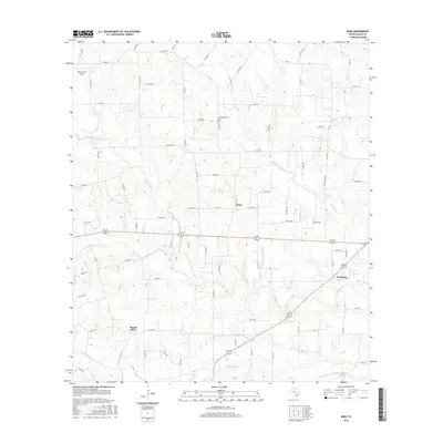
2016 Map of Wied
USGS Topo · Published 2016About this map
Wied and Worthing anchor this rural landscape in Lavaca County, characterized by a dense network of county roads and meandering creek drainage systems. The settlement of Mount Olive sits in the southwestern portion of the map, while Charlottenburg Cem serves as a significant genealogical landmark to the north. This area of Texas is defined by its watercourses, including Ponton Cr, Smothers Cr, and Boggy Cr, which carve through the terrain between small community centers. Transportation is facilitated by Alt 90 and Alt 77, which intersect the region's agricultural and ranching lands. Aviation interests are represented by the Dean Ranch Airport in the northwest, reflecting the modern utility of these larger landholdings. The map also identifies family-specific landmarks like Louis Sitka, providing localized points of interest for researchers of the area's social geography.
Find a feature on this map
86 named features on this map. Tap any name to fly to it.
Don’t see what you’re looking for? This feature index may not catch every label — zoom into the map to look around manually.
Map Details
Editions of this 2016 Wied Map
This is the sole edition of this map. No revisions or reprints were ever made.
Other maps of this area

1901 · Flatonia
USGS Topo · 1:125,000

1919 · Schulenburg
USGS Topo · 1:62,500

1953 · Seguin
USGS Topo · 1:250,000

1958 · Seguin
USGS Topo · 1:250,000

1962 · Hallettsville
USGS Topo · 1:24,000

1963 · Yoakum
USGS Topo · 1:24,000

1963 · Sweet Home
USGS Topo · 1:24,000

1964 · Ezzell
USGS Topo · 1:24,000

1965 · Wied
USGS Topo · 1:24,000

1965 · Komensky
USGS Topo · 1:24,000