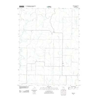
2012 Map of Wien
USGS Topo · Published 2012About this map
Wien serves as a focal point in this portion of Macon County, where the landscape is defined by the dendritic drainage of the Mussel Fork and its numerous tributaries. The settlement pattern is largely agricultural, with small clusters like Heuer and Glee situated along a network of rural roads such as Highway WW and Menefee Rd. This 2012 survey illustrates the enduring rural character of the region, where family and community heritage are preserved at sites like Saint Marys Cemetery near Wien and the more isolated Lingo Cemetery to the north.
Find a feature on this map
46 named features on this map. Tap any name to fly to it.
Don’t see what you’re looking for? This feature index may not catch every label — zoom into the map to look around manually.
Map Details
Editions of this 2012 Wien Map
This is the sole edition of this map. No revisions or reprints were ever made.
Other maps of this area

1937 · Elmer
USGS Topo · 1:48,000

1942 · Elmer
USGS Topo · 1:62,500

1949 · Bucklin
USGS Topo · 1:24,000

1950 · Bucklin
USGS Topo · 1:24,000

1950 · New Cambria West
USGS Topo · 1:24,000

1953 · Moberly
USGS Topo · 1:250,000

1953 · Marceline
USGS Topo · 1:24,000

1953 · Prairie Hill
USGS Topo · 1:24,000

1953 · Lagonda
USGS Topo · 1:24,000

1953 · Wien
USGS Topo · 1:24,000