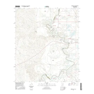
2016 Map of Wiergate SE
USGS Topo · Published 2016About this map
The Sabine River carves a winding path along the border of Vernon Parish, Louisiana, and Newton County, Texas, defining a landscape of oxbow lakes and dense wetlands. This 2016 survey highlights the river’s dynamic hydrology, featuring prominent meanders like Scoggins Bend and Russell Bend, alongside numerous brakes and water bodies such as Sibo Brake and Jarrels Ferry Lake. The terrain is characterized by slightly elevated features like Gunter Hill and Runyon Hills that rise above the low-lying bottomlands and hammocks, including Dark Hammock and Gray Hammock.
Find a feature on this map
88 named features on this map. Tap any name to fly to it.
Don’t see what you’re looking for? This feature index may not catch every label — zoom into the map to look around manually.
Map Details
Editions of this 2016 Wiergate SE Map
This is the sole edition of this map. No revisions or reprints were ever made.
Other maps of this area

1941 · Leesville
USGS Topo · 1:62,500

1943 · Leesville
USGS Topo · 1:62,500

1944 · Wiergate
USGS Topo · 1:62,500

1946 · Leesville
USGS Topo · 1:62,500

1947 · Knight
USGS Topo · 1:31,680

1948 · Leesville
USGS Topo · 1:62,500

1948 · Wiergate
USGS Topo · 1:62,500

1949 · Evans
USGS Topo · 1:31,680

1952 · Lake Charles
USGS Topo · 1:250,000

1953 · Alexandria
USGS Topo · 1:250,000