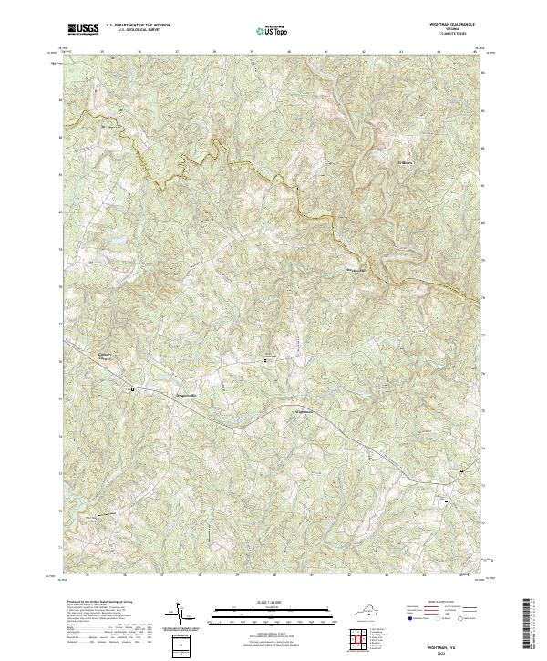
2022 Map of Wightman
USGS Topo · Published 2022About this map
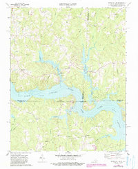
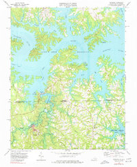
Reekes Mill sits at a critical junction of the Meherrin River system, where the north, middle, and south forks converge near the Lunenburg and Mecklenburg county line. The landscape is defined by the dendritic drainage of the Piedmont, with numerous creeks like Buckhorn Cr and Miles Cr carving through the terrain. Small rural settlements including Wightman, Drapersville, and Wilburn serve as local anchors along a network of winding roads and the Tobacco Heritage Trl.
Find a feature on this map
54 named features on this map. Tap any name to fly to it.
Don’t see what you’re looking for? This feature index may not catch every label — zoom into the map to look around manually.
Map Details
Editions of this 2022 Wightman Map
This is the sole edition of this map. No revisions or reprints were ever made.
Historical Maps of Reekes Mill Through Time
16 maps found
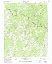
1966 Wightman
Mecklenburg County, VA
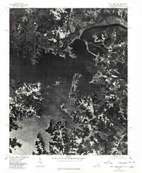
1968 Clarksville North
Mecklenburg County, VA
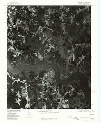
1968 Clarksville South
Mecklenburg County, VA
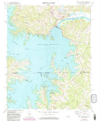
1968 John H Kerr Dam
Mecklenburg County, VA

1968 Nelson
Mecklenburg County, VA
1968 South Hill SE
Mecklenburg County, VA
1968 Tungsten
Mecklenburg County, VA
1977 Clarksville South
Mecklenburg County, VA
1977 John H Kerr Dam
Mecklenburg County, VA
1977 South Hill SE
Mecklenburg County, VA
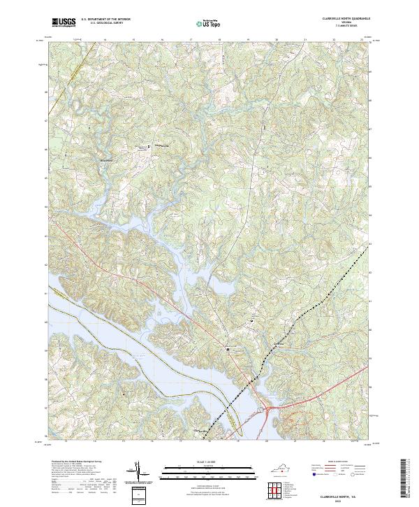
2022 Clarksville North
Mecklenburg County, VA
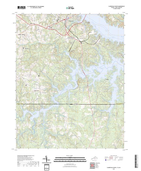
2022 Clarksville South
Mecklenburg County, VA
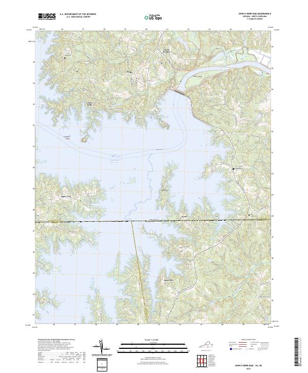
2022 John H Kerr Dam
Mecklenburg County, VA
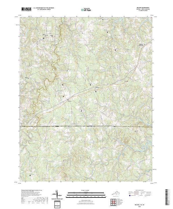
2022 Nelson
Mecklenburg County, VA
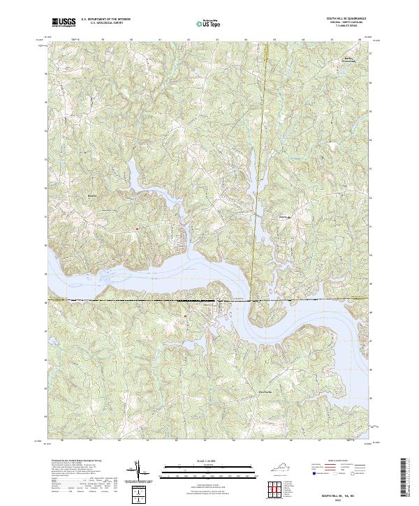
2022 South Hill SE
Mecklenburg County, VA
2022 Wightman
Mecklenburg County, VA