
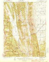
1944 Map of Wilbur Springs
USGS Topo · Published 1944About this map
Quicksilver mining defines the rugged interior of the Coast Ranges shown here in the early 1940s, centered on the mineral-rich district near Wilbur Springs. The landscape is marked by numerous industrial operations, including the Abbott Mine, Mercury Mine, and the Wide Awake Mine, which suggest the intensive mercury extraction that once drove the local economy along Sulphur Creek. These mines were critical during the war years, drawing labor to small remote settlements like Leesville and Mountain House.
Find a feature on this map
54 named features on this map. Tap any name to fly to it.
Don’t see what you’re looking for? This feature index may not catch every label — zoom into the map to look around manually.
Map Details
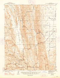
Editions of this 1944 Wilbur Springs Map
3 editions found
Other maps of this area

1904 · Sites
USGS Topo · 1:24,000

1905 · Fairview
USGS Topo · 1:24,000

1906 · Maxwell
USGS Topo · 1:62,500

1907 · Colusa
USGS Topo · 1:62,500

1917 · Sites
USGS Topo · 1:31,680

1917 · Delevan
USGS Topo · 1:31,680

1918 · Williams
USGS Topo · 1:31,680

1918 · Spring Valley
USGS Topo · 1:31,680

1920 · Venado
USGS Topo · 1:62,500

1924 · Bartlett Springs
USGS Topo · 1:62,500