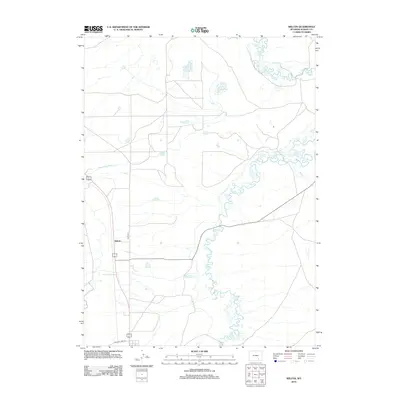
2012 Map of Wilcox
USGS Topo · Published 2012About this map
Wilcox occupies a central point in this part of Albany County, where the landscape is defined by an intricate network of irrigation systems and small watercourses. The U.S. Geological Survey documentation reveals a series of engineered waterways, including Taylor Ditch and the meandering Johnston Ditch, which support the region's agricultural character. Road infrastructure like Old State Hwy 13 and Banzhaf Ln provide local transit across the high plains. The presence of Bosler Ditch Number 3 and Bluff Ditch suggests a long-standing reliance on water management to navigate the arid Wyoming terrain, while Meiser Cr adds to the natural drainage pattern of the area.
Find a feature on this map
8 named features on this map. Tap any name to fly to it.
Don’t see what you’re looking for? This feature index may not catch every label — zoom into the map to look around manually.
Map Details
Editions of this 2012 Wilcox Map
This is the sole edition of this map. No revisions or reprints were ever made.
Other maps of this area

1915 · Como Ridge
USGS Topo · 1:48,000

1918 · Como Ridge
USGS Topo · 1:62,500

1954 · Cheyenne
USGS Topo · 1:250,000

1954 · Rawlins
USGS Topo · 1:250,000

1955 · Pine Tree Ridge
USGS Topo · 1:24,000

1955 · Sevenmile Spring
USGS Topo · 1:24,000

1955 · Cooper Lake North
USGS Topo · 1:24,000

1955 · Rock River
USGS Topo · 1:24,000

1955 · Cannonball Cut
USGS Topo · 1:24,000

1955 · Wilcox
USGS Topo · 1:24,000