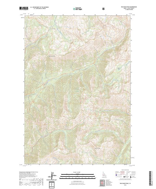
2024 Map of Wild Buck Peak
USGS Topo · Published 2024About this map
Boise National Forest encompasses this entire high-altitude landscape in Valley County, Idaho, where steep ridges and deep drainages define the wilderness character. The northern reaches are shaped by the South Fork Salmon River, which collects water from numerous tributaries including Sixteen to One Creek and Bull Creek. The map documents a primitive transportation network consisting of named pack trails such as the Sixteen to One Trl and the Cup Corral-Cutoff Trl, which navigate the elevation gains between peaks. Prominent summits including Monumental Peak, Rocky Peak, and the namesake Wild Buck Peak serve as primary landmarks for those traversing the backcountry. These trails frequently follow natural corridors, like the Bitter Creek-Silver Creek Trl, linking remote drainages and basins in a region where topography dictates movement.
Find a feature on this map
28 named features on this map. Tap any name to fly to it.
Don’t see what you’re looking for? This feature index may not catch every label — zoom into the map to look around manually.
Map Details
Editions of this 2024 Wild Buck Peak Map
This is the sole edition of this map. No revisions or reprints were ever made.
Other maps of this area

1909 · Garden Valley
USGS Topo · 1:125,000

1953 · Boiling Springs
USGS Topo · 1:62,500

1953 · Deadwood Reservoir
USGS Topo · 1:62,500

1954 · Gold Fork
USGS Topo · 1:62,500

1954 · Warm Lake
USGS Topo · 1:62,500

1957 · Challis
USGS Topo · 1:250,000

1960 · Challis
USGS Topo · 1:250,000

1963 · Challis
USGS Topo · 1:250,000

1982 · Pistol Creek
USGS Topo · 1:100,000

1982 · Deadwood River
USGS Topo · 1:100,000