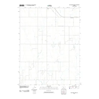
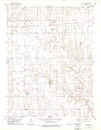
2009 Map of Wild Horse Creek
USGS Topo · Published 2009About this map
Palco sits at the northern edge of this landscape in Rooks County, serving as the primary hub for a region defined by agricultural plots and winding watercourses. The drainage patterns of the High Plains are clearly visible through the wandering paths of Spring Creek and Wild Horse Creek, which carve subtle valleys through the township. The section-line road network creates a rigid grid across the terrain, reflecting the legacy of the Homestead Act and the systematic organization of Kansas farmland. This 2009 survey captures the modern alignment of State Highway 18 as it bypasses the northern settlements, illustrating the continued importance of transportation corridors in connecting these rural western communities to the wider state economy.
Find a feature on this map
3 named features on this map. Tap any name to fly to it.
Don’t see what you’re looking for? This feature index may not catch every label — zoom into the map to look around manually.
Map Details
Editions of this 2009 Wild Horse Creek Map
This is the sole edition of this map. No revisions or reprints were ever made.
Other maps of this area

1893 · Hill
USGS Topo · 1:125,000

1896 · Plainville
USGS Topo · 1:125,000

1955 · Beloit
USGS Topo · 1:250,000

1959 · Beloit
USGS Topo · 1:250,000
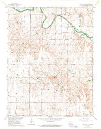
1963 · Hill City 4 SE
USGS Topo · 1:24,000
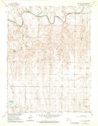
1963 · Hill City 4 SW
USGS Topo · 1:24,000

1969 · Palco
USGS Topo · 1:24,000

1969 · Stockton SW
USGS Topo · 1:24,000
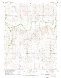
1978 · Plainville SW
USGS Topo · 1:24,000
1978 · Zurich
USGS Topo · 1:24,000