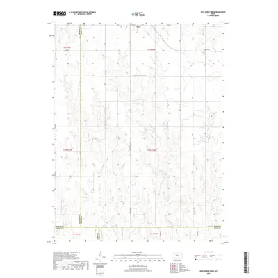
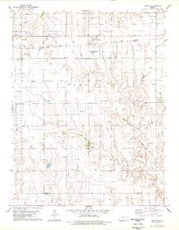
2018 Map of Wild Horse Creek
USGS Topo · Published 2018About this map
Palco serves as the primary northern anchor for this rural Kansas landscape, where the High Plains terrain is etched by a series of drainage systems that descend toward the southern border. The Saline River cuts across the extreme southwest corner, while the namesake Wild Horse Cr and its tributaries, including Tomcat Cr and Spring Cr, create a branching network of draws and seasonal watercourses. The gridded road system, featuring routes like N Hampton-Fairview Township Rd and Ee Rd, reflects the agricultural heritage and township organization of the region. Family researchers may find interest in the Pleasantview Cem located in the northeast, a quiet landmark amidst the expansive fields. The map reveals the meeting point of four counties—Rooks, Graham, Ellis, and Trego—marking a significant jurisdictional intersection in the central part of the state.
Find a feature on this map
29 named features on this map. Tap any name to fly to it.
Don’t see what you’re looking for? This feature index may not catch every label — zoom into the map to look around manually.
Map Details
Editions of this 2018 Wild Horse Creek Map
This is the sole edition of this map. No revisions or reprints were ever made.
Other maps of this area

1893 · Hill
USGS Topo · 1:125,000

1896 · Plainville
USGS Topo · 1:125,000

1955 · Beloit
USGS Topo · 1:250,000

1959 · Beloit
USGS Topo · 1:250,000
1963 · Hill City 4 SE
USGS Topo · 1:24,000
1963 · Hill City 4 SW
USGS Topo · 1:24,000

1969 · Palco
USGS Topo · 1:24,000

1969 · Stockton SW
USGS Topo · 1:24,000
1978 · Plainville SW
USGS Topo · 1:24,000
1978 · Zurich
USGS Topo · 1:24,000