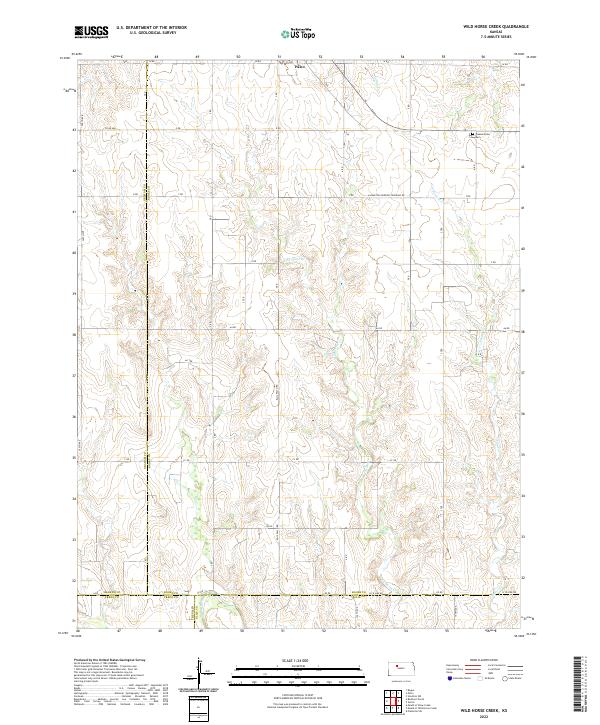
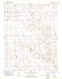
2022 Map of Wild Horse Creek
USGS Topo · Published 2022About this map
Palco sits at the northern edge of this high plains landscape, where a meticulous grid of rural roads like N Hampton-Fairview Township Rd and AA Rd divide the territory into sections. The terrain is defined by the dendritic drainage patterns of Wild Horse Cr and Tomcat Cr, which carve their way south toward the Saline River along the southern boundary. This topography reveals the deep relationship between Kansas agriculture and the natural hydrology of the Smoky Hills region.
Find a feature on this map
31 named features on this map. Tap any name to fly to it.
Don’t see what you’re looking for? This feature index may not catch every label — zoom into the map to look around manually.
Map Details
Editions of this 2022 Wild Horse Creek Map
This is the sole edition of this map. No revisions or reprints were ever made.
Other maps of this area

1893 · Hill
USGS Topo · 1:125,000

1896 · Plainville
USGS Topo · 1:125,000

1955 · Beloit
USGS Topo · 1:250,000

1959 · Beloit
USGS Topo · 1:250,000
1963 · Hill City 4 SE
USGS Topo · 1:24,000
1963 · Hill City 4 SW
USGS Topo · 1:24,000

1969 · Palco
USGS Topo · 1:24,000

1969 · Stockton SW
USGS Topo · 1:24,000
1978 · Plainville SW
USGS Topo · 1:24,000
1978 · Zurich
USGS Topo · 1:24,000