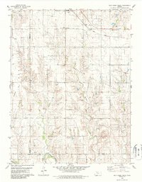
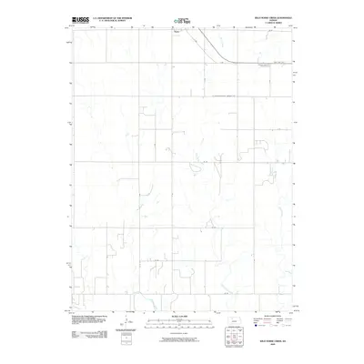
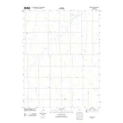
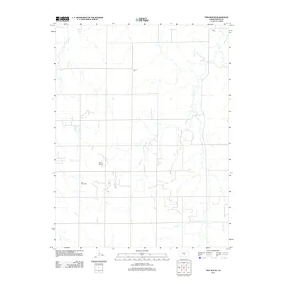
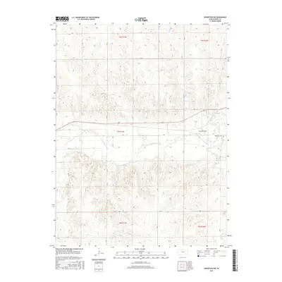
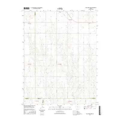
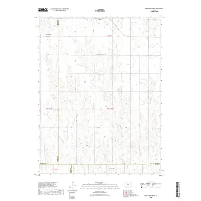
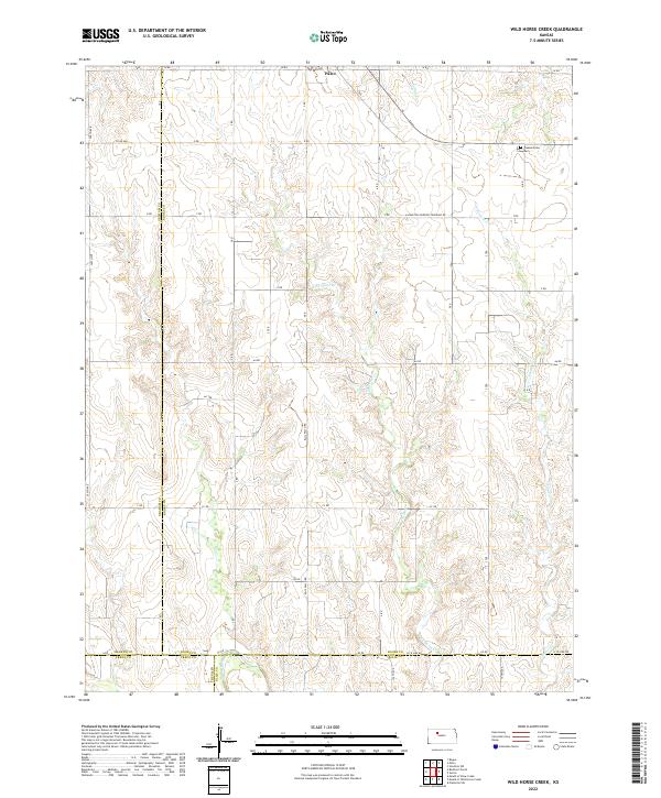
1979 Map of Wild Horse Creek
USGS Topo · Published 1986About this map
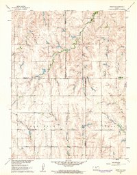
The Saline River cuts through the southern reaches of this Rooks County landscape, defining a terrain dominated by the mid-century energy boom. The map reveals the extensive footprint of the Marcotte Oil Field, Morel Oil Field, and Cooper Oil Field, which are marked by numerous pumping stations and wells. This industrial development is overlaid upon a traditional agricultural grid, where the Union Pacific railroad corridor provides a straight line of transit across the northern sections, passing near the settlement of Paleo.
Find a feature on this map
29 named features on this map. Tap any name to fly to it.
Don’t see what you’re looking for? This feature index may not catch every label — zoom into the map to look around manually.
Map Details
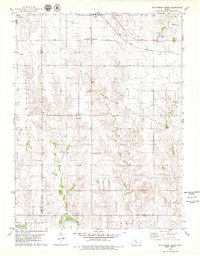
Editions of this 1979 Wild Horse Creek Map
2 editions found
Historical Maps of Palco Through Time
48 maps found
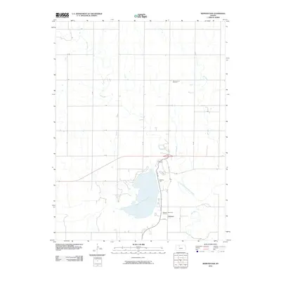
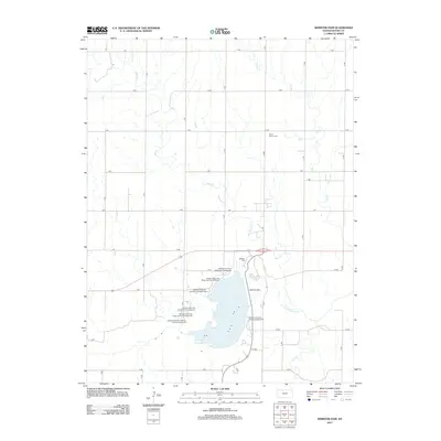
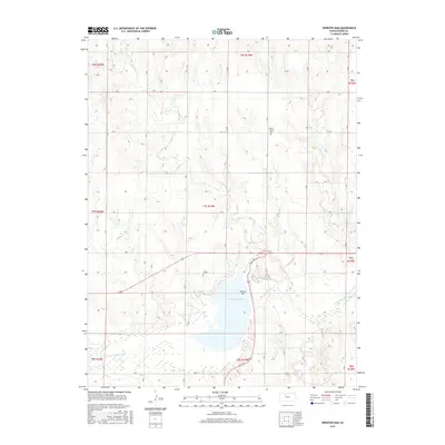
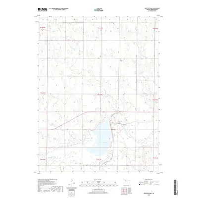
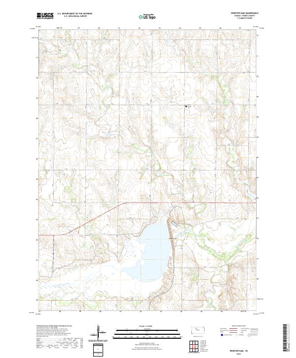
1952 Webster Dam
Rooks County, KS
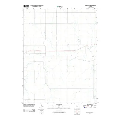
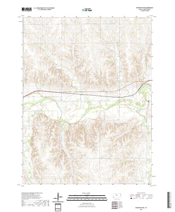
1953 Woodston NW
Rooks County, KS
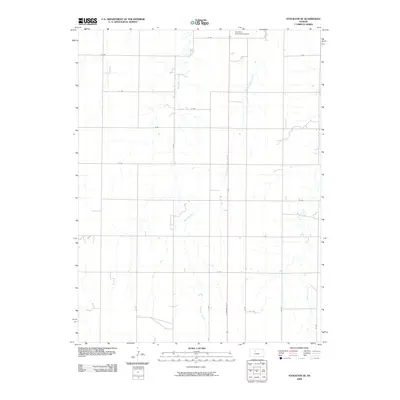
1961 Kirwin SE
Rooks County, KS
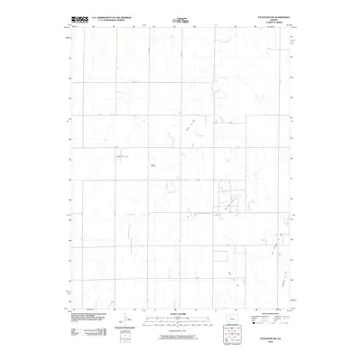
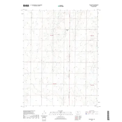
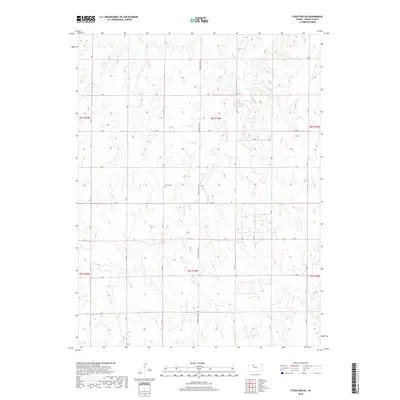
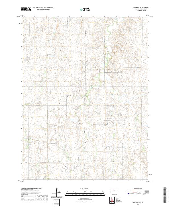
1969 Stockton SW
Rooks County, KS
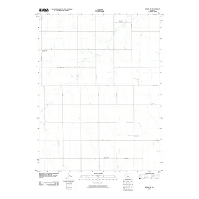
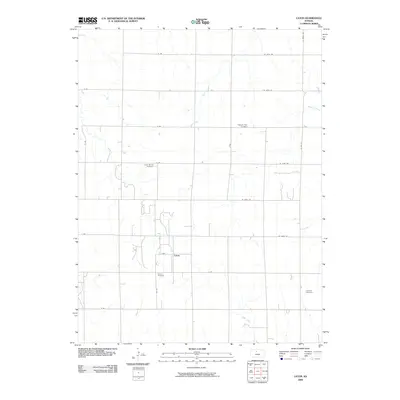
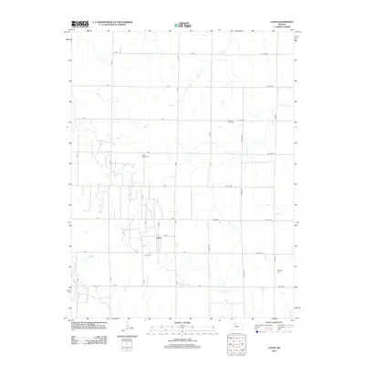
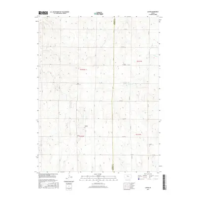
1978 Laton
Rooks County, KS
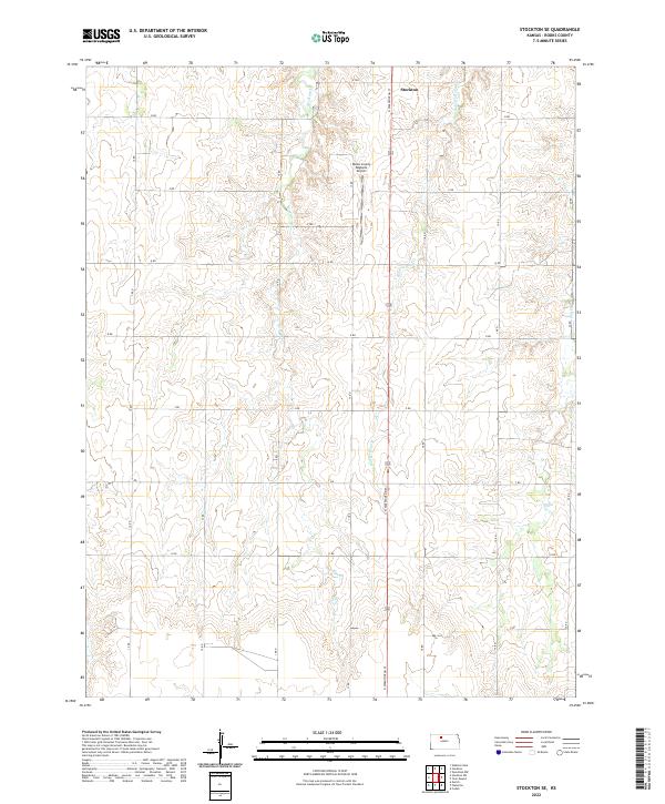
1978 Stockton SE
Rooks County, KS

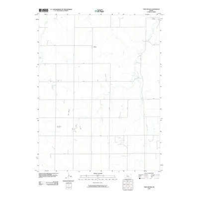
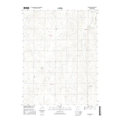
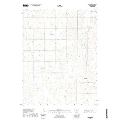
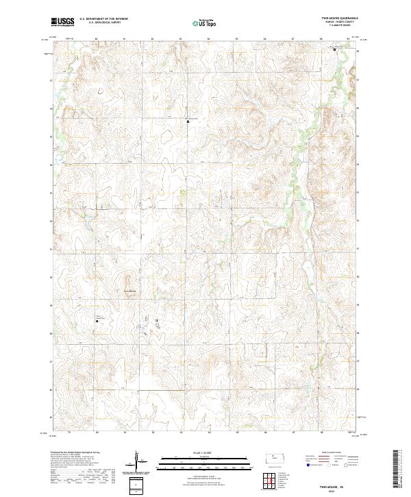
1978 Twin Mound
Rooks County, KS
1979 Wild Horse Creek
Rooks County, KS
2009 Kirwin SE
Rooks County, KS
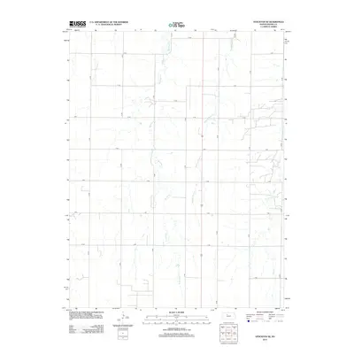
2009 Laton
Rooks County, KS
2009 Stockton SE
Rooks County, KS
2009 Twin Mound
Rooks County, KS
2009 Wild Horse Creek
Rooks County, KS
2009 Woodston NW
Rooks County, KS
2010 Stockton SW
Rooks County, KS
2010 Webster Dam
Rooks County, KS
2012 Kirwin SE
Rooks County, KS
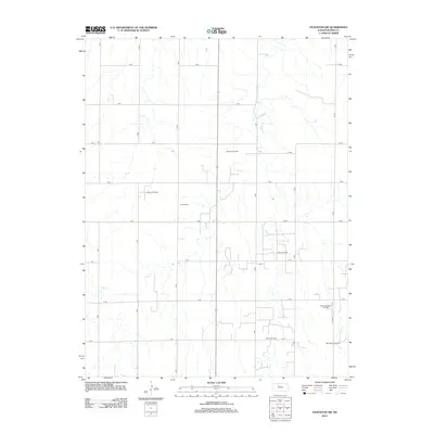
2012 Laton
Rooks County, KS
2012 Stockton SE
Rooks County, KS
2012 Stockton SW
Rooks County, KS
2012 Twin Mound
Rooks County, KS
2012 Webster Dam
Rooks County, KS
2012 Wild Horse Creek
Rooks County, KS
2012 Woodston NW
Rooks County, KS

2015 Kirwin SE
Rooks County, KS
2015 Laton
Rooks County, KS

2015 Stockton SE
Rooks County, KS
2015 Twin Mound
Rooks County, KS
2015 Webster Dam
Rooks County, KS
2015 Woodston NW
Rooks County, KS
2016 Stockton SW
Rooks County, KS
2016 Wild Horse Creek
Rooks County, KS
2018 Kirwin SE
Rooks County, KS
2018 Laton
Rooks County, KS
2018 Stockton SE
Rooks County, KS
2018 Stockton SW
Rooks County, KS
2018 Twin Mound
Rooks County, KS
2018 Webster Dam
Rooks County, KS
2018 Wild Horse Creek
Rooks County, KS
2018 Woodston NW
Rooks County, KS
2022 Kirwin SE
Rooks County, KS
2022 Laton
Rooks County, KS
2022 Stockton SE
Rooks County, KS
2022 Stockton SW
Rooks County, KS
2022 Twin Mound
Rooks County, KS
2022 Webster Dam
Rooks County, KS
2022 Wild Horse Creek
Rooks County, KS
2022 Woodston NW
Rooks County, KS