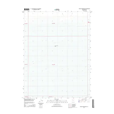
2014 Map of Wildcat Mountain SE
USGS Topo · Published 2014About this map
Great Salt Lake Desert dominates this 2014 survey, offering a stark look at the vast arid expanse within the eastern reaches of the Great Basin. This specific quadrangle covers a significant section of Tooele County, focusing on the flat, salt-encrusted terrain that defines the region's geography. The map reveals the intricate network of township and range lines, such as t6s r13w and t5s r13w, which provide the essential legal and structural framework for this largely unpopulated wilderness. While human settlements are absent, the mapping of subtle elevation contours and precise grid coordinates provides a vital record of this landscape for those studying the environmental and geological character of the Utah desert floor.
Find a feature on this map
8 named features on this map. Tap any name to fly to it.
Don’t see what you’re looking for? This feature index may not catch every label — zoom into the map to look around manually.
Map Details
Editions of this 2014 Wildcat Mountain SE Map
This is the sole edition of this map. No revisions or reprints were ever made.
Other maps of this area

1953 · Tooele
USGS Topo · 1:250,000

1954 · Wig Mtn SW
USGS Topo · 1:24,000

1954 · Wildcat Mtn
USGS Topo · 1:24,000

1954 · Granite Peak
USGS Topo · 1:24,000

1954 · Wildcat Mtn SE
USGS Topo · 1:24,000

1954 · Dugway Proving Ground NW
USGS Topo · 1:24,000

1954 · Wig Mtn NW
USGS Topo · 1:24,000

1955 · Tooele
USGS Topo · 1:250,000

1973 · Wildcat Mountain SW
USGS Topo · 1:24,000

1973 · Wildcat Mountain NW
USGS Topo · 1:24,000