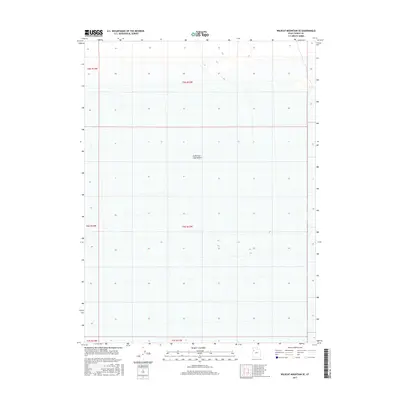
2017 Map of Wildcat Mountain SE
USGS Topo · Published 2017About this map
Great Salt Lake Desert dominates this 2017 quadrangle, revealing a landscape defined by its stark geological and hydrologic features rather than human habitation. The map provides a precise look at the township and range boundaries including t5s r13w, t6s r13w, and t7s r13w, which help orient researchers within this expansive portion of Tooele County. The lack of named roads or structures underscores the area's characteristic isolation, with the minimal contour lines and elevation markings delineating the flat, arid basin that defines this region of the American West. This modern survey is essential for those studying the precise boundaries and natural topography of Utah's most distinct desert environment.
Find a feature on this map
7 named features on this map. Tap any name to fly to it.
Don’t see what you’re looking for? This feature index may not catch every label — zoom into the map to look around manually.
Map Details
Editions of this 2017 Wildcat Mountain SE Map
This is the sole edition of this map. No revisions or reprints were ever made.
Other maps of this area

1953 · Tooele
USGS Topo · 1:250,000

1954 · Wig Mtn SW
USGS Topo · 1:24,000

1954 · Wildcat Mtn
USGS Topo · 1:24,000

1954 · Granite Peak
USGS Topo · 1:24,000

1954 · Wildcat Mtn SE
USGS Topo · 1:24,000

1954 · Dugway Proving Ground NW
USGS Topo · 1:24,000

1954 · Wig Mtn NW
USGS Topo · 1:24,000

1955 · Tooele
USGS Topo · 1:250,000

1973 · Wildcat Mountain SW
USGS Topo · 1:24,000

1973 · Wildcat Mountain NW
USGS Topo · 1:24,000