
1954 Map of Wildcat Mtn
USGS Topo · Published 1956About this map
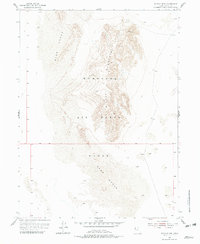
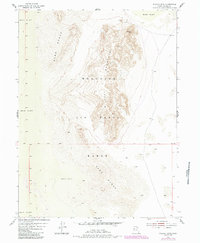
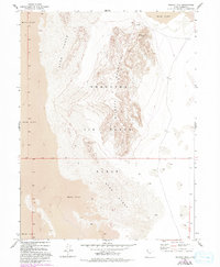
The Wendover Bombing and Gunnery Range dominates this mid-century landscape in Tooele County, illustrating the significant military footprint in the Utah desert during the Cold War era. Centered on the distinctive Wildcat Mountain, the map reveals a rugged terrain defined by shifting Sand Dunes that flank the central peak to the northwest and southeast. The presence of a Tunnel and various Prospects on the northern slopes of the mountain suggests a history of mineral exploration or developmental activity preceding or coinciding with military use. This 1954 survey provides a clear look at how remote geological features were repurposed for national defense, serving as a backdrop for tactical training and aviation testing in the vast Great Salt Lake Desert.
Find a feature on this map
8 named features on this map. Tap any name to fly to it.
Don’t see what you’re looking for? This feature index may not catch every label — zoom into the map to look around manually.
Map Details
Editions of this 1954 Wildcat Mtn Map
4 editions found
Other maps of this area

1953 · Tooele
USGS Topo · 1:250,000

1954 · Wig Mtn SW
USGS Topo · 1:24,000

1954 · Wildcat Mtn SE
USGS Topo · 1:24,000

1954 · Wig Mtn NW
USGS Topo · 1:24,000

1955 · Tooele
USGS Topo · 1:250,000

1973 · Knolls SW
USGS Topo · 1:24,000

1973 · Wildcat Mountain SW
USGS Topo · 1:24,000

1973 · Wildcat Mountain NW
USGS Topo · 1:24,000

1973 · Knolls SE
USGS Topo · 1:24,000

1973 · Aragonite SW
USGS Topo · 1:24,000