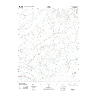
2010 Map of Wildwood
USGS Topo · Published 2010About this map
Eusebia Cemetery and Logans Chapel Cemetery serve as historical anchors in this landscape of ridges and creek valleys southeast of Knoxville. The area is defined by its numerous family and community burial grounds, including McCammon Cemetery and Headrick Cemetery, which reflect generations of settlement along Ellejoy Creek and Nails Creek. The terrain rises significantly toward the south, culminating at Chilhowee Mountain where the Millstone Gap Lookout Tower stands near Murray Gap.
Find a feature on this map
86 named features on this map. Tap any name to fly to it.
Don’t see what you’re looking for? This feature index may not catch every label — zoom into the map to look around manually.
Map Details
Editions of this 2010 Wildwood Map
This is the sole edition of this map. No revisions or reprints were ever made.
Other maps of this area

1886 · Knoxville
USGS Topo · 1:125,000

1892 · Knoxville
USGS Topo · 1:125,000

1894 · Knoxville
USGS Topo · 1:125,000

1895 · Knoxville
USGS Topo · 1:125,000

1901 · Knoxville
USGS Topo · 1:125,000

1935 · Knoxville
USGS Topo · 1:48,000

1935 · Walden Creek
USGS Topo · 1:24,000

1935 · Maryville
USGS Topo · 1:24,000

1935 · Wildwood
USGS Topo · 1:24,000
1935 · Blockhouse
USGS Topo · 1:24,000