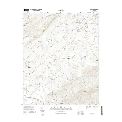
2016 Map of Wildwood
USGS Topo · Published 2016About this map
Seymour and its surrounding communities in Blount, Sevier, and Knox counties are captured here just before the close of the 2010s, showing a landscape defined by legacy farmsteads and modern development. The map reveals a dense network of family-name cemeteries like Eusebia Cem and McCammon Cem alongside aviation landmarks such as Seymour Air Park and the uniquely named Into the Wind Airport.
Find a feature on this map
57 named features on this map. Tap any name to fly to it.
Don’t see what you’re looking for? This feature index may not catch every label — zoom into the map to look around manually.
Map Details
Editions of this 2016 Wildwood Map
This is the sole edition of this map. No revisions or reprints were ever made.
Other maps of this area

1886 · Knoxville
USGS Topo · 1:125,000

1892 · Knoxville
USGS Topo · 1:125,000

1894 · Knoxville
USGS Topo · 1:125,000

1895 · Knoxville
USGS Topo · 1:125,000

1901 · Knoxville
USGS Topo · 1:125,000

1935 · Knoxville
USGS Topo · 1:48,000

1935 · Walden Creek
USGS Topo · 1:24,000

1935 · Maryville
USGS Topo · 1:24,000

1935 · Wildwood
USGS Topo · 1:24,000
1935 · Blockhouse
USGS Topo · 1:24,000