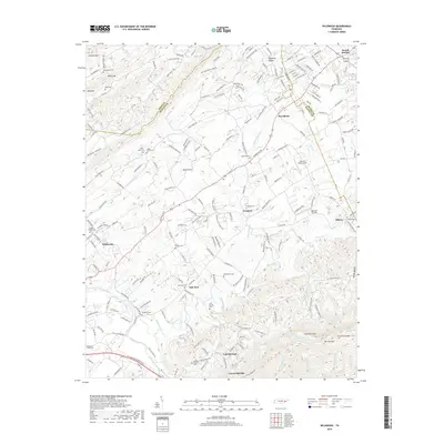
2019 Map of Wildwood
USGS Topo · Published 2019About this map
The Little River meanders across the southwestern corner of this landscape, where the valley floor begins its ascent toward the high peaks of Chilhowee Mtn. This 2019 survey documents a region of Blount County defined by its historical rural communities and numerous family and church burial grounds. Landmarks such as Bethlehem Church and several cemeteries, including Eusebia Cem and Prospect Cem, anchor the social geography of the area. The map illustrates a transition from the lower elevations near Wildwood and Oak View to the more dramatic terrain of Chestnut Flats and Tipton Hollow. Small aviation facilities like Into the Wind Airport and Seymour Air Park are integrated into the modern landscape, while the presence of the Blount Co Sevier Co line and the Knox Co Blount Co border highlights the map's location at a significant administrative crossroads in East Tennessee.
Find a feature on this map
202 named features on this map. Tap any name to fly to it.
Don’t see what you’re looking for? This feature index may not catch every label — zoom into the map to look around manually.
Map Details
Editions of this 2019 Wildwood Map
This is the sole edition of this map. No revisions or reprints were ever made.
Other maps of this area

1886 · Knoxville
USGS Topo · 1:125,000

1892 · Knoxville
USGS Topo · 1:125,000

1894 · Knoxville
USGS Topo · 1:125,000

1895 · Knoxville
USGS Topo · 1:125,000

1901 · Knoxville
USGS Topo · 1:125,000

1935 · Knoxville
USGS Topo · 1:48,000

1935 · Walden Creek
USGS Topo · 1:24,000

1935 · Maryville
USGS Topo · 1:24,000

1935 · Wildwood
USGS Topo · 1:24,000
1935 · Blockhouse
USGS Topo · 1:24,000