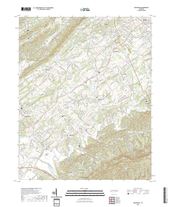
2022 Map of Wildwood
USGS Topo · Published 2022About this map
Chilhowee Mtn rises in the southeastern corner of this Blount County survey, overlooking a landscape defined by the winding waters of Ellejoy Creek and Nails Cr. The map captures a transition from the elevated peaks of Johnson Mtn and Red Mtn down into the productive Ellejoy Valley and Tarklin Valley. This area is characterized by scattered rural settlements such as Prospect, Wildwood, and Newell Station, many of which grew around early crossroads and water sources like Cold Springs and Cowan Springs. Family history and local heritage are deeply embedded in the land, evidenced by numerous burial grounds including McCammon Cem, Eusebia Cem, and the Logans Chapel Cem. Aviation presence is notable in the eastern flats, with the Into the Wind Airport and Seymour Air Park situated near the Sevier County line, reflecting the modern evolution of this traditionally agricultural terrain.
Find a feature on this map
210 named features on this map. Tap any name to fly to it.
Don’t see what you’re looking for? This feature index may not catch every label — zoom into the map to look around manually.
Map Details
Editions of this 2022 Wildwood Map
This is the sole edition of this map. No revisions or reprints were ever made.
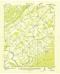
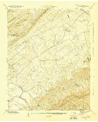
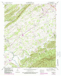
Historical Maps of Prospect Through Time
4 maps found