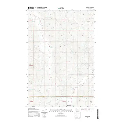
2013 Map of Wildwood
USGS Topo · Published 2013About this map
The South Fork Chehalis River winds through the heart of this Lewis County landscape, serving as the primary drainage for a network of creeks including Wilson Cr, Brim Cr, and Stillwater Cr. The settlement of Wildwood sits in the upper valley, while the community of Ryderwood is positioned near the southern boundary at the Lewis Co Cowlitz Co line. Significant elevation changes are marked by features like Point Hill and Pumphrey Mtn, with Stony Grade suggesting the challenging nature of the local road network.
Find a feature on this map
49 named features on this map. Tap any name to fly to it.
Don’t see what you’re looking for? This feature index may not catch every label — zoom into the map to look around manually.
Map Details
Editions of this 2013 Wildwood Map
This is the sole edition of this map. No revisions or reprints were ever made.
Other maps of this area

1916 · Chehalis
USGS Topo · 1:125,000

1941 · Meskill
USGS Topo · 1:62,500

1941 · Olequa
USGS Topo · 1:62,500

1953 · Hoquiam
USGS Topo · 1:250,000

1953 · Castle Rock
USGS Topo · 1:62,500

1953 · Ryderwood
USGS Topo · 1:62,500

1953 · Adna
USGS Topo · 1:62,500

1954 · Centralia
USGS Topo · 1:62,500

1957 · Hoquiam
USGS Topo · 1:250,000

1958 · Hoquiam
USGS Topo · 1:250,000