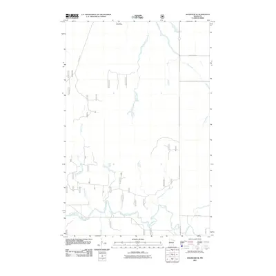
2011 Map of Wildwood SE
USGS Topo · Published 2011About this map
The Big Fork River meanders through the southern portion of this Itasca County landscape, serving as a primary hydrological feature in an area defined by its dense network of brooks and creeks. The northern reaches are marked by the Plum Creek Lookout Tower, a significant landmark for forest management and fire observation near the headwaters of Wade Brook. The map reveals a transition from these upland observation points to the low-lying drainage basins of Plum Creek and Bowman Creek.
Find a feature on this map
33 named features on this map. Tap any name to fly to it.
Don’t see what you’re looking for? This feature index may not catch every label — zoom into the map to look around manually.
Map Details
Editions of this 2011 Wildwood SE Map
This is the sole edition of this map. No revisions or reprints were ever made.
Other maps of this area

1918 · Zora
USGS Topo · 1:62,500

1919 · Zora
USGS Topo · 1:62,500

1919 · Marcell
USGS Topo · 1:62,500

1954 · Hibbing
USGS Topo · 1:250,000

1957 · Hibbing
USGS Topo · 1:250,000

1958 · Hibbing
USGS Topo · 1:250,000

1964 · Hibbing
USGS Topo · 1:250,000
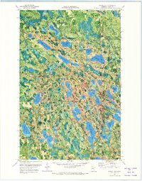
1970 · Spring Lake
USGS Topo · 1:24,000
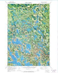
1970 · Bigfork
USGS Topo · 1:24,000
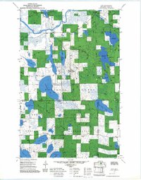
1970 · Wirt
USGS Topo · 1:24,000