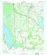
1967 Map of Wildwood
USGS Topo · Published 1969About this map
The railroad junction of Wildwood serves as a primary hub in this central Florida landscape during the late 1960s. The town's grid is dominated by the Seaboard Coast Line, while the newer Sunshine State Parkway cuts diagonally across the terrain, including Interchange 30. This era marks a transition where traditional rail-centered settlements like Coleman and Adamsville began to coexist with high-speed automotive infrastructure.
Find a feature on this map
31 named features on this map. Tap any name to fly to it.
Don’t see what you’re looking for? This feature index may not catch every label — zoom into the map to look around manually.
Map Details
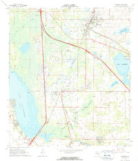
Editions of this 1967 Wildwood Map
2 editions found
Other maps of this area

1893 · Panasoffkee
USGS Topo · 1:62,500

1895 · Panasoffkee
USGS Topo · 1:62,500

1955 · Plant City
USGS Topo · 1:250,000

1955 · Orlando
USGS Topo · 1:250,000

1957 · Orlando
USGS Topo · 1:250,000

1958 · Orlando
USGS Topo · 1:250,000

1958 · Plant City
USGS Topo · 1:250,000

1958 · Bushnell
USGS Topo · 1:24,000

1958 · Wahoo
USGS Topo · 1:24,000

1959 · Plant City
USGS Topo · 1:250,000