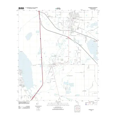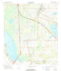
1967 Map of Wildwood
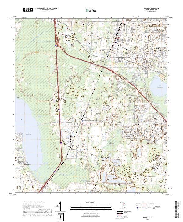
USGS Topo · Published 1990About this map
Wildwood and Coleman serve as the primary hubs in this central Florida landscape during the late 1960s, a period of transition as the Sunshine State Parkway and its Interchange 30 introduce modern transit alongside the long-established Seaboard Coast Line railroad. The western edge is defined by the expanse of Lake Panasoffkee, including landmarks like Coleman Landing and Shell Point. The topography is marked by significant wetlands and water systems such as Lake Okahumpka, Evans Prairie, and Warm Brook. Local industry and rural infrastructure are visible through numerous scattered quarries and sandpits, while genealogists can locate historical burial sites at Oak Grove Cem and Sumterville Cem. The map captures the area just as new roadway developments began to reshape the rural character of Sumter County.
Find a feature on this map
34 named features on this map. Tap any name to fly to it.
Don’t see what you’re looking for? This feature index may not catch every label — zoom into the map to look around manually.
Map Details
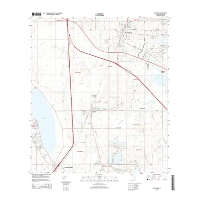
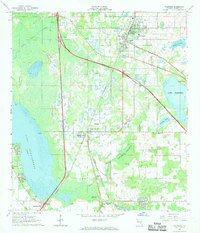
Editions of this 1967 Wildwood Map
2 editions found
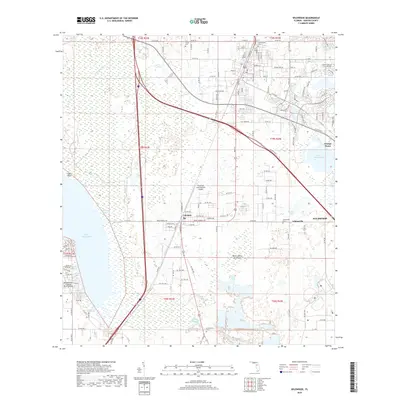
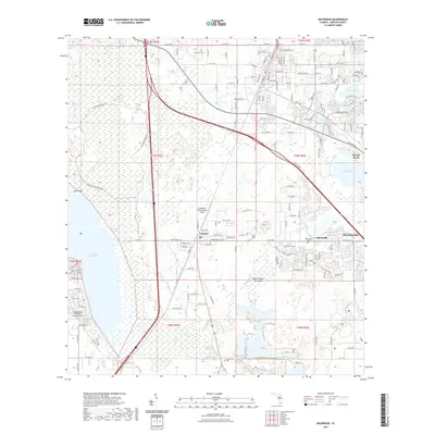
Historical Maps of The Villages Through Time
6 maps found