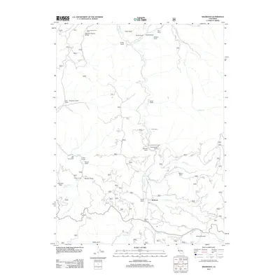
2012 Map of Wildwood
USGS Topo · Published 2012About this map
Wildwood serves as the central settlement in this rugged Trinity County landscape, situated where Hall City Creek and Goods Creek meet the winding Hayfork Creek. The area is defined by a dense network of gulches and ridges, including the significant Telephone Ridge and Goods Mountain. Notable for its local history and geological features, the map highlights the Massacre Natural Bridge and its associated Natural Bridge Picnic Area in the north, along with Shiell Ranch and Riewerts Ranch. These locations, connected by corridors like Wildwood Road and Hall City Creek Road, reflect a landscape shaped by both natural wonders and early ranching foundations. The inclusion of the Salt Creek Campground and Gemmill Gulch Picnic Area points to the region's enduring role as a destination for outdoor recreation amidst the steep terrain of Chanchelulla Gulch and Wilson Point.
Find a feature on this map
40 named features on this map. Tap any name to fly to it.
Don’t see what you’re looking for? This feature index may not catch every label — zoom into the map to look around manually.
Map Details
Editions of this 2012 Wildwood Map
This is the sole edition of this map. No revisions or reprints were ever made.
Other maps of this area

1890 · Red Bluff
USGS Topo · 1:250,000

1894 · Red Bluff
USGS Topo · 1:250,000

1909 · Big Bar
USGS Topo · 1:96,000

1913 · Weaverville
USGS Topo · 1:125,000

1915 · Big Bar and Vicinity
USGS Topo · 1:250,000

1931 · Hoaglin
USGS Topo · 1:96,000

1935 · Hoaglin
USGS Topo · 1:125,000

1950 · Weaverville
USGS Topo · 1:62,500

1951 · Hayfork
USGS Topo · 1:62,500

1951 · Chanchelulla Peak
USGS Topo · 1:62,500