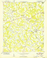
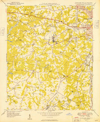
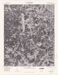
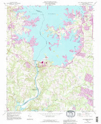
1949 Map of Wilgrove
USGS Topo · Published 1949This historical map portrays the area of Wilgrove in 1949, primarily covering Mecklenburg County as well as portions of Union County and Cabarrus County. Featuring a scale of 1:24000, this map provides a highly detailed snapshot of the terrain, roads, buildings, counties, and historical landmarks in the Wilgrove region at the time. Published in 1949, it is one of 2 known editions of this map due to revisions or reprints.
Find a feature on this map
43 named features on this map. Tap any name to fly to it.
Don’t see what you’re looking for? This feature index may not catch every label — zoom into the map to look around manually.
Map Details
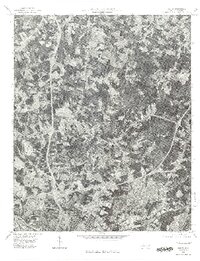
Editions of this 1949 Wilgrove Map
2 editions found
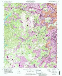
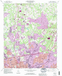
Historical Maps of Spicewood Acres Through Time
20 maps found

1948 Charlotte East
Mecklenburg County, NC
1948 Charlotte West
Mecklenburg County, NC
1948 Derita
Mecklenburg County, NC

1948 Paw Creek
Mecklenburg County, NC
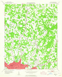
1949 Charlotte East
Mecklenburg County, NC
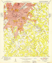
1949 Charlotte West
Mecklenburg County, NC
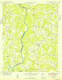
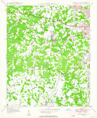
1949 Hicks Crossroads
Mecklenburg County, NC
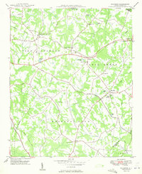
1949 Wilgrove
Mecklenburg County, NC
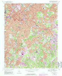
1967 Charlotte East
Mecklenburg County, NC
1968 Charlotte West
Mecklenburg County, NC
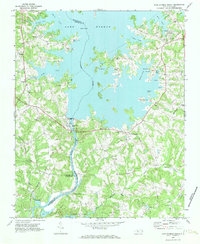
1969 Mountain Island Lake
Mecklenburg County, NC
1970 Lake Norman South
Mecklenburg County, NC
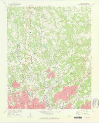
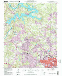
1972 Derita
Mecklenburg County, NC
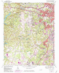
1976 Charlotte West
Mecklenburg County, NC
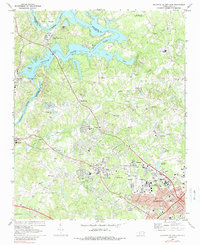
1976 Derita
Mecklenburg County, NC
1993 Charlotte West
Mecklenburg County, NC
1993 Derita
Mecklenburg County, NC
1993 Lake Norman South
Mecklenburg County, NC
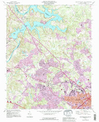
1993 Mountain Island Lake
Mecklenburg County, NC
1997 Mountain Island Lake
Mecklenburg County, NC