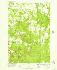
1955 Map of Wilhoit
USGS Topo · Published 1957About this map
Wilhoit sits near the center of this 1950s landscape, where the rugged terrain of Missouri Ridge meets the winding Molalla River. The map reveals a post-war rural infrastructure defined by timber and agriculture, evidenced by features like the Log Pond and multiple stone extractions such as Yoder Quarry and Barrenth Quarry. The transition between Clackamas and Marion counties is marked by the course of Butte Creek and High Hill to the south.
Find a feature on this map
38 named features on this map. Tap any name to fly to it.
Don’t see what you’re looking for? This feature index may not catch every label — zoom into the map to look around manually.
Map Details
Editions of this 1955 Wilhoit Map
4 editions found
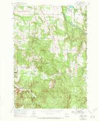
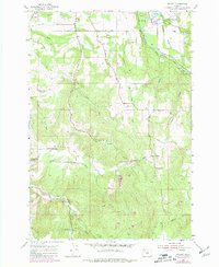
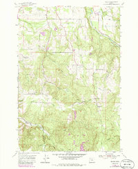
Other maps of this area

1916 · Estacada
USGS Topo · 1:125,000

1929 · Mill City
USGS Topo · 1:125,000

1939 · Molalla
USGS Topo · 1:62,500

1940 · Molalla
USGS Topo · 1:62,500

1948 · Vancouver
USGS Topo · 1:250,000

1950 · Vancouver
USGS Topo · 1:250,000

1950 · Vancouver
USGS Topo · 1:250,000

1951 · Lyons
USGS Topo · 1:62,500

1953 · Salem
USGS Topo · 1:250,000

1954 · Salem
USGS Topo · 1:250,000