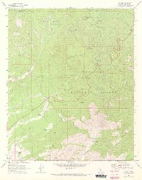
1969 Map of Wilhoit
USGS Topo · Published 1973About this map
Wilhoit sits at the heart of this survey, surrounded by the high-elevation terrain of the Prescott National Forest. The landscape is defined by its mining and ranching heritage, with prominent peaks like Mt Francis and Gabarina Hill overlooking the mineral-rich Copper Basin. Water infrastructure is critical in this environment, as evidenced by a network of windmills and tanks such as the Telegraph Spring Windmill, Forest Windmill, and Hay Flat Tank.
Find a feature on this map
53 named features on this map. Tap any name to fly to it.
Don’t see what you’re looking for? This feature index may not catch every label — zoom into the map to look around manually.
Map Details
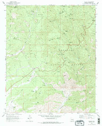
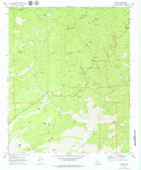
Editions of this 1969 Wilhoit Map
3 editions found
Other maps of this area

1887 · Prescott
USGS Topo · 1:250,000

1892 · Prescott
USGS Topo · 1:250,000

1903 · Bradshaw Mountains
USGS Topo · 1:125,000

1903 · Congress
USGS Topo · 1:125,000

1904 · Congress
USGS Topo · 1:125,000

1905 · Jerome
USGS Topo · 1:125,000

1947 · Iron Springs
USGS Topo · 1:62,500

1947 · Mt. Union
USGS Topo · 1:62,500

1947 · Kirkland
USGS Topo · 1:62,500

1947 · Prescott
USGS Topo · 1:62,500