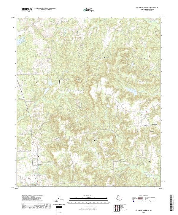
2022 Map of Wilkerson Mountain
USGS Topo · Published 2022About this map
Montalba anchors the southwestern corner of this landscape, where the terrain begins its ascent toward the prominent Pine Mountain. The area is defined by a dense network of country roads, such as FM 837, winding through a series of creek drainages including Mound Prairie Creek and Walnut Creek. For those researching local family histories, this map is exceptionally detailed regarding burial sites, documenting Paces Chapel Cem, Calhoun Cem, and Hopewell Cem among others across the rural countryside. Significant wetlands like Beaver Marsh and Evergreen Marsh are noted near the center of the sheet, illustrating the low-lying drainage patterns that have shaped land use and road placement. The inclusion of the Briar Lakes Ranch Airport suggests the continued modern utility of this primarily agricultural and wooded region of East Texas.
Find a feature on this map
55 named features on this map. Tap any name to fly to it.
Don’t see what you’re looking for? This feature index may not catch every label — zoom into the map to look around manually.
Map Details
Editions of this 2022 Wilkerson Mountain Map
This is the sole edition of this map. No revisions or reprints were ever made.
Other maps of this area

1949 · Palestine
USGS Topo · 1:62,500

1949 · Frankston
USGS Topo · 1:62,500

1949 · Athens
USGS Topo · 1:62,500

1949 · Tennessee Colony
USGS Topo · 1:62,500

1950 · Athens
USGS Topo · 1:62,500

1950 · Palestine
USGS Topo · 1:62,500

1950 · Frankston
USGS Topo · 1:62,500

1950 · Tennessee Colony
USGS Topo · 1:62,500

1953 · Palestine
USGS Topo · 1:250,000

1956 · Tyler
USGS Topo · 1:250,000